Shifting from Trash Collections to Taking Action! What can we do to prevent trash from entering our streets?

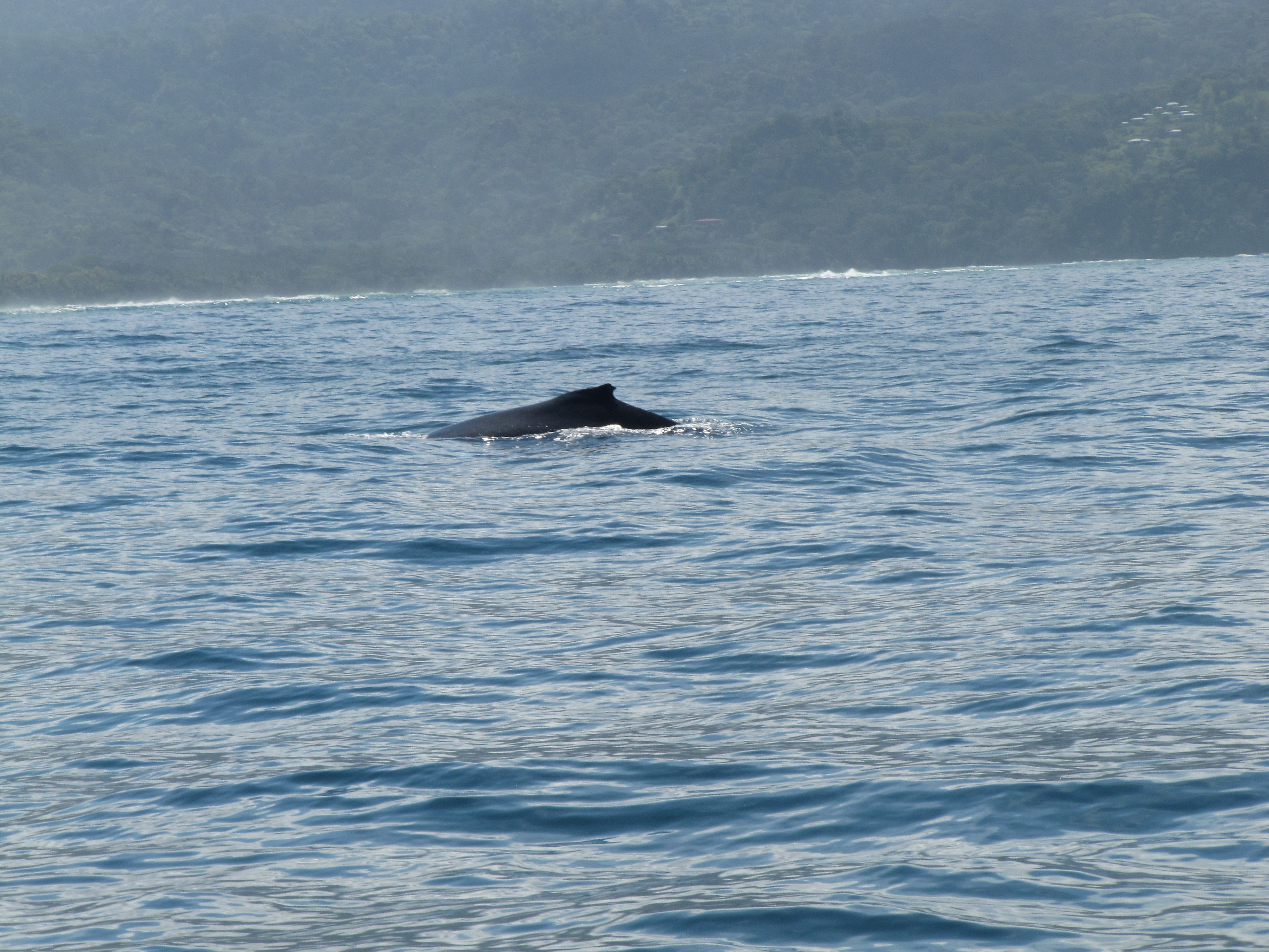
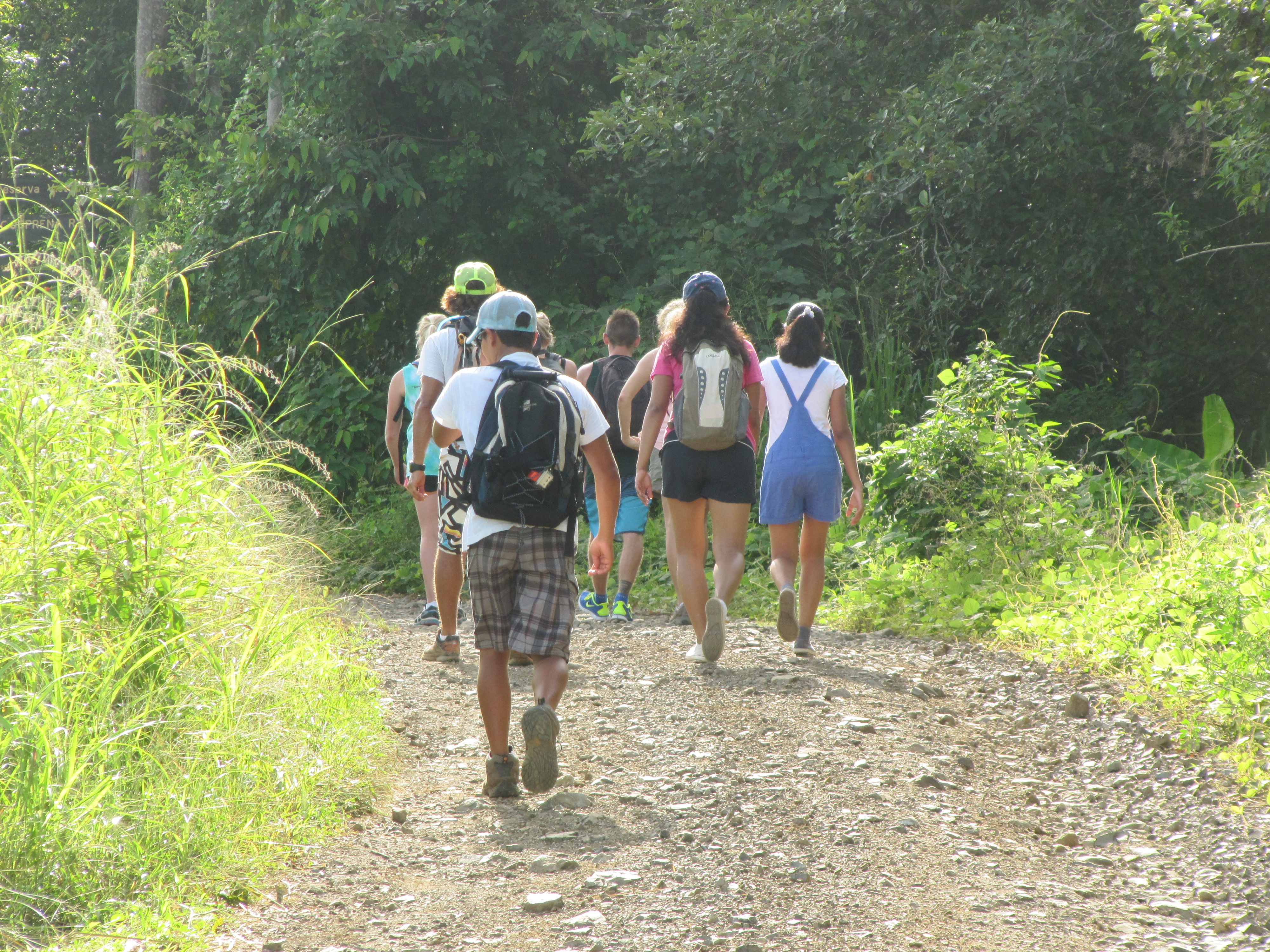
Since April, various individuals from Bahía-Uvita have been working together to understand a serious problem that impacts communities around the world: Trash. Every Friday, starting the first week in April, individuals have gathered to pick up trash from the streets. Each week a new location is selected for the cleanup. But, this isn’t just any ordinary community trash collection. Residents are using GPS technology to record the location of the trash they collect and then using GIS (Geographic Information Systems) to create maps that show the amount of trash and type of trash collected.

basura-recoleccion-bahia-ballena-geoporter

basura-recoleccion-gps-classification-geoporter-bahia-ballena-uvita-costa-rica

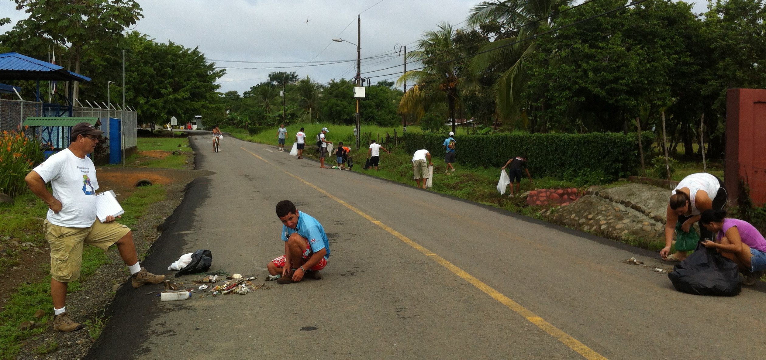
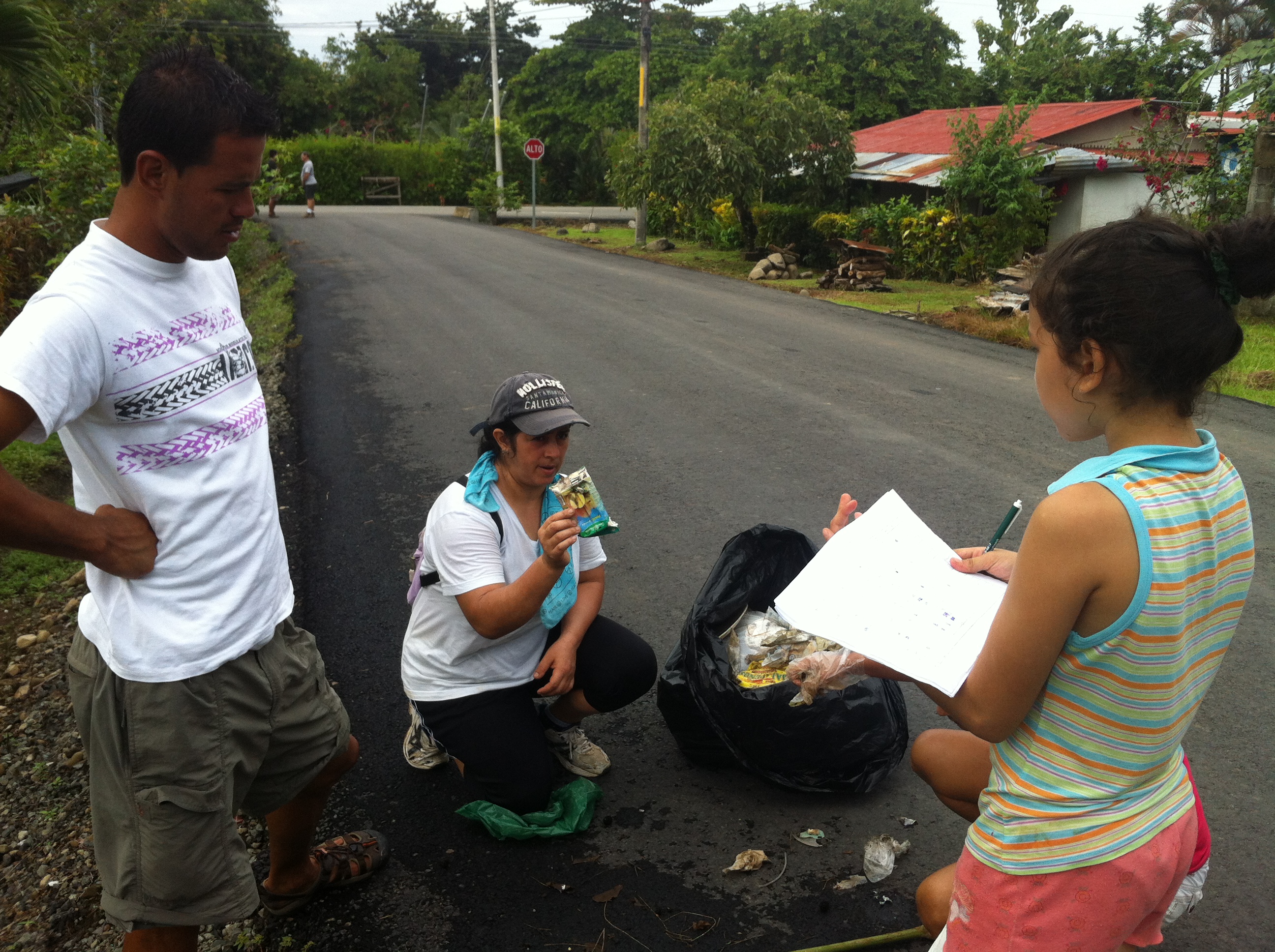
The approach residents selected to map the trash is: to count and classify the type of trash in a 24m radius along the streets and beaches. The resulting trash map shows the areas that have the greatest amount of trash.

Basura-map-trash-GPS-GIS-Geoporter-bahiaballena-costarica

As a community, we could continue to collect trash every Friday for the rest of our lives. But that is not the answer to the trash problem. Rather, we have to take action to prevent trash from entering our streets in the first place. Using the trash map, we as a community have identified where new public trashcans (checkered flags on map), to use for both trash and recyclables, need to be placed. The community is working now to gather the resources and materials to construct trashcans to place in the identified locations.

ubicacions-basureros-nuevos-bahia-ballena-geoporter

The Asociación de Desarrollo Integral de Uvita recently constructed 4 trash cans to place in Bahia-Uvita. These are in addition to the trash and recycling cans sponsored by Bodhi Surf School and Bahía Aventuras (green flags on map) in January and the materials that others such as the Asociación de Guías and the Asociación de Operadores de Turismo y individual businesses are looking to also provide.

basureros-uvita-asociación de-desarrollo-integral-de-uvita-geoporter

basureros-jaunary-bodhi-surf-bahia-aventuras-bahia-ballena-geoporter

Placing trashcans in public locations is not the only solution to eliminating trash. Education and outreach are also important for understanding what we can do today as well as how our actions today can impact the future. The last two Fridays Geoporter has switched from trash collections to discussions about what actions can we take to reach out to students, community members, businesses and tourists who visit our community. The ideas generated from the first meeting were plentiful and impressive, but not the final list. The list will continue to grow as others submit ideas and choose to take responsibility for helping to implement the actions that will benefit the community.

Basura-ideas-bahiaballena-geoporter

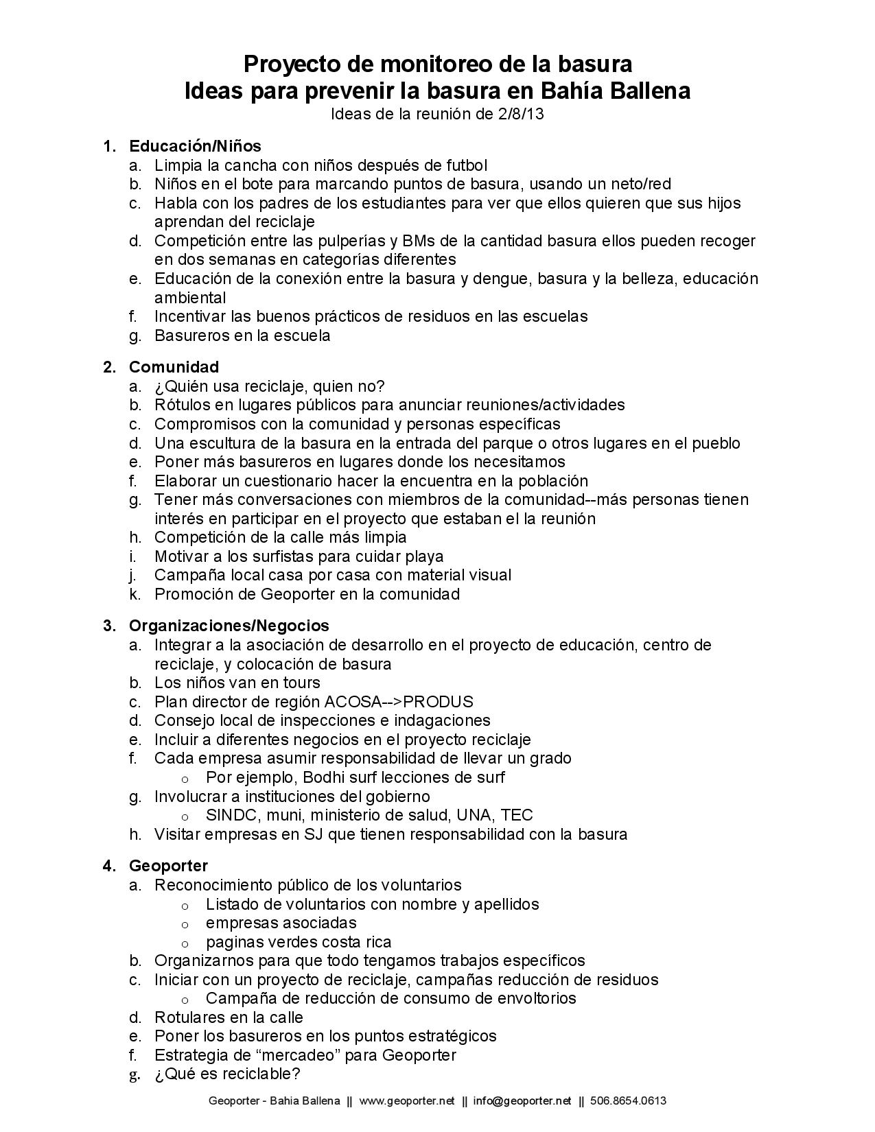
During this last meeting, the group highlighted the most important items to carry out as a community and what each person would be willing to commit to doing. Thus for future Fridays individuals will work on items they commit to and report back. We invite all those interested in assisting to join our meetings and conversations and to share new ideas and commit to an action(s) that is important to them.

Perspectives of my first week volunteering with Geoporter

I arrived in the beautiful town of Bahía Ballena a week ago, and have witnessed Geoporter work in full swing. This week, I focused on trash and whale monitoring.  However, it is clear that there is potential for GPS and Geoporter analysis in many corners of Bahía Ballena.

One the trash front, we collected between the two BM supermarkets early on Friday morning. We had a great crew with us, and were able to collect along the entire stretch in two hours. As expected, we collected mainly plastic items, many of which were related to food. I began analysis of the previous data, searching for trends and points to improve upon. I found that: A) the red zones for trash are in the school zone, along the highway, and near the bars and restaurants; B) most of the trash collected is actually recyclable; and C) most of the trash is related to food or drink consumption. With this in mind, we can make recommendations for steps forward to mitigate the trash problem here in the community.

Trash Collection Costanera

One of the main points that we wish to stress is the connection between trash and beauty. Less trash would mean a clean beach with healthier animals. Less trash on the ground means less people are likely to litter, leading to a more beautiful landscape. I was particularly inspired by how some community members have taken it into their own hands to actively turn the trash in to beautiful projects: the plastic bottle basureros and Luz’s jewelry. Projects like these exemplify a cultural shift in the community’s relationships with waste.

2013-07-12 14.50.16

This week we had a meeting with the association of guides in Bahía Ballena.  We practiced using new and more durable whale monitoring sheets. The new ones can withstand the winds and wetness that often accompany boat tours. I was lucky enough to go out on a combo tour with Bahía Aventuras where I saw the new sheets in action.  Plenty of whales and dolphins, too!

marino-ballena-national-park-costa-rica-geoporter-whales

I keep coming across different potential uses for GPS and geospatial technologies in Bahía Ballena.  For instance, today I went on a hike and learned that trails are relatively unmarked and unmapped. Maps made possible by GPS could open the doors to a new sector of tours branching from Bahía. We saw plenty of wildlife on the hike: sloths, monkeys, butterflies, and frogs. All these animals could be mapped, just like the whales.  This could open the doors towards a more developed guided hike business in the community.

mtn-hike-bahia-ballena-geoporter

Amy, Fernando, and I drove up to Hacienda Baru, a National Wildlife Refuge and Lodge, to give a presentation about the potential of GPS and GIS in their reserve. They were interested in using it for tracking turtle locations, animals and trees. The possibilities seem broad, and they were excited to get going in the learning process. We plan on returning later for further trainings.

Some next steps forward for Geoporter are to continue to train community members in using our technologies and making sure that whatever data is collected is put to a practical use.

More later!
Maggy

Geoporter has it’s first Volunteer!

Geoporter has been lucky enough to have it’s first volunteer. Margaret Wenzlau, from Stanford University, will be here in Bahia Ballena for 1 month. Arriving July 13 she will assist in the various Geoporter projects. These projects include Mapping for Trash Elimination, Monitoring Whales in Marino Ballena National Park, and helping to get a new project off the ground that will involve recording animals killed on the Costanera, between Hacienda Baru in Dominical, and Playa Ballena, just south of Bahia-Uvita. We’ve invited Maggy to share some of her experiences here on our blog. We are excited to have Maggy here with us in Bahia Ballena and share with all of you some of the exciting this from her perspective!