![]()
What is Geoporter?
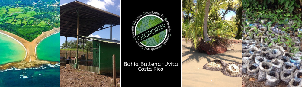
Geospatial Educators Opportunities for Partnership Outreach Research and Training is a program where professional geospatial educators will travel to communities around the world for extended periods to work hand-in-hand with community members to use and apply geospatial technologies to solve local issues and investigate community resources.
Why Are Geospatial Technologies Essential in a Geoporter Project?
Geospatial technologies are revolutionizing our understanding of the world around us. The use of these technologies in the hands of educators and youth help inform community leaders and decision makers. As a result, community members have taken an interest in learning how they too can use these tools to investigate topics of interest to their livelihoods. Communities across the globe are increasingly taking interest in understanding the resources their community have.
What is a GEOPORTer?
Educators who decide to travel to non U.S.A. communities to work with those community members will be referred to as Geoporters and they will reside in the community long enough that community members learn appropriate geospatial technologies to conquer identified challenges or issues. As Geoporter moves toward the future, Geoporters will continue to work with students and adults to gain global perspectives as they investigate challenges within their communities using geospatial technologies. If you’re interested in becoming a future Geoporters contact us.
Geoporters…
- … are professional geospatial educators who work with educators, adults and youth, engaging them in the use of geospatial technologies to increase awareness and understanding of our earth.
- … have the opportunity to share their skills and expertise with others while learning more about the world around them.
- … are ideally suited to guide and teach both adults and youth in the use of geospatial technologies to investigate and identify solutions to community issues.
- … who become involved in the communities in which we focus will develop long term relationships with local residents, educators, youth, guides, and community businesses. They will leave with a sense of investment that is supporting a positive change in the community.
What Will Geoporters Do?
- INCREASE capacity of residents of communities around the world using geospatial technologies to better understand, establish and develop practices for a sustainable community.
- IMMERSE themselves within a community
- WORK with local school(s), educators, and youth
- TRAIN and SUPPORT community members to conduct and carry-out the community-based projects they’ve identified.
- INTEGRATE research concepts that support the community identified projects (such as participatory GIS, environmental, community and/or economic sustainability research).
- EMPOWER the community to become self sufficient in the use of geospatial technologies after the Geoporters departs.
How Will Geoporter Projects Be Evaluated?
- Evaluation of Geoporter projects will be based on a number of items identified by both program staff and community members, such as the:
- Adoption of geospatial technologies by educators and community members to carry out the projects identified by the communities
- Continuous use of the geospatial technologies beyond the stay of the Geoporters in the community.
- Number and type of other community projects that are using geospatial technologies.
- Satisfaction of the community in which the Geoporters was working and living.
- Surrounding communities become interested in using geospatial technologies to investigate similar topics or other areas?
- Expansion of a project (i.e. did other boat tour operators start mapping whale sightings, or did the original boat tour operators start mapping other items of interest, such as dolphins, or tortugas.)