Participatory Whale Monitoring
Boat tour companies lead the way in monitoring whales by using GPS and GIS to record and map daily sightings in and around Marino Ballena National Park. Guides and captains from the different tour companies in the community use GPS to record type, number and species of whales observed during their daily boat tours with tourists.They then return to the land and use GIS to map their sightings to better understand the patterns of the whales they see. Read more…
Clean Streets, Clean Waters
The community of Bahía Ballena self-identified trash as a problem that can be mitigated. Not only is the trash unsightly in the natural environment, it affects the ecosystem in and around the town. Read more…
Coastal Escuelas
Youth are our key to a better future. Escuelas Costeras is focused on working with schools, high schools and youth programs to engage youth in learning GPS and GIS through integration with classroom content or applied to community projects. Read more…
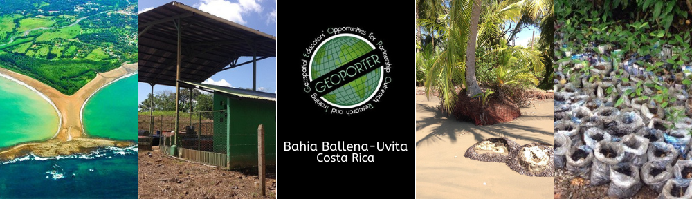
Semilla de Ballena
Driving factors for this reforestation initiative have included protecting beaches from erosion, providing suitable habitats for wildlife, and increasing the amount of shade in town. Businesses and organizations have organized to use geospatial technologies to reforest the community using local and native trees. Read more…