The best gift of all is sharing with others

One of the objectives of the Geoporter project is to share our knowledge of geospatial technologies, GIS, GPS and remote sensing, with others. But ultimately what we hope to achieve is that by sharing our knowledge with others, others will acquire the skills to not only use GPS they will have the skills and knowledge to share what they’ve learned with others. And so the sharing begins…. 

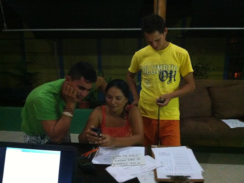
Every week, we have weekly meetings with the tour guides to learn more about GPS, how to use the data collection sheet that was developed in conjunction with the tour guides and Fundacion KETO, and transfer the data to the computers to map it. Recently new guides have started to attend the trainings, and others already using GPS have started sharing what they know with those who are new. 

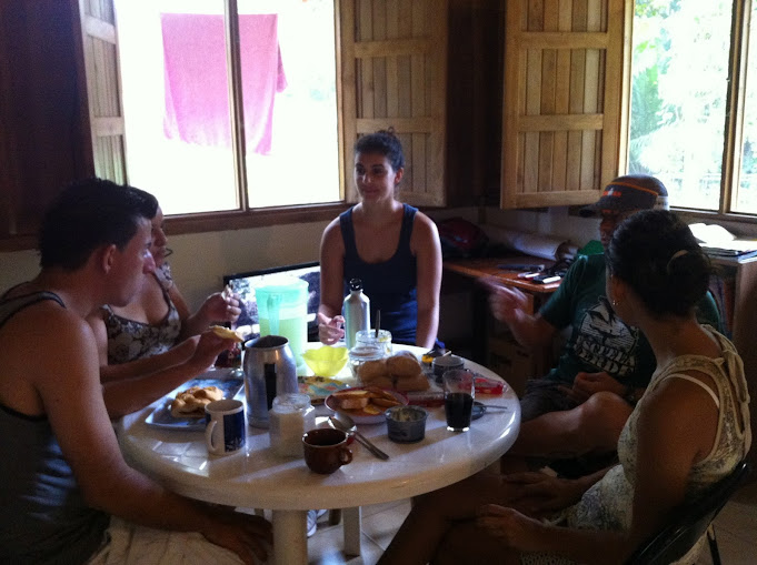
The first week in December, the president of the Asociacion de Guias de Bahia Ballena (ASOGUIBA) and one of the key partners in the Ballenas project, Fernando Guerrero invited the president and treasurer from the Asociacion Guias Turisticas Piedras Blancas, in Piedras Blancas National Park. Bruss and Rocio came to our evening meeting where Fernando explained GPS to them and had them practice using GPS in the street. Ronald explained the project and showed how they are using ArcGIS Online to record whale sightings in Marino Ballena National Park and the trash map that is being used to assess the location of new public trash cans.

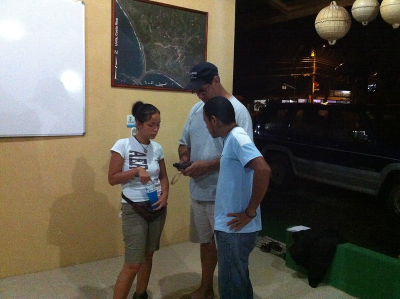
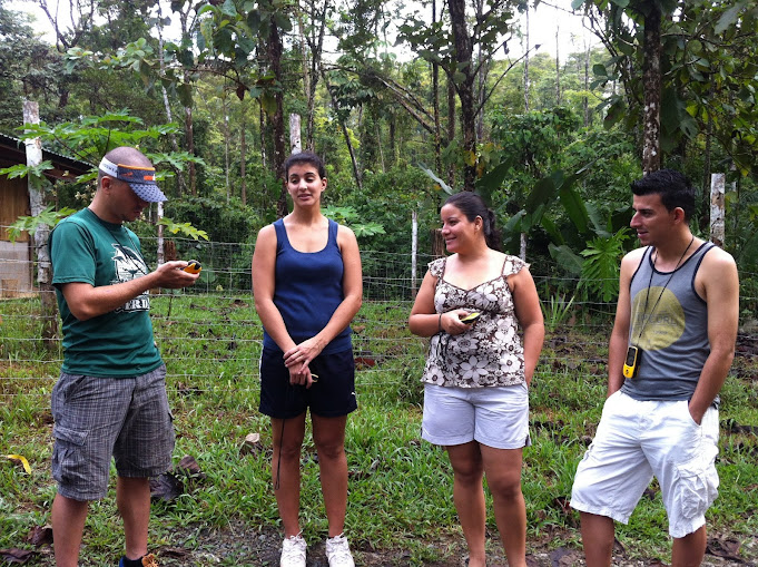
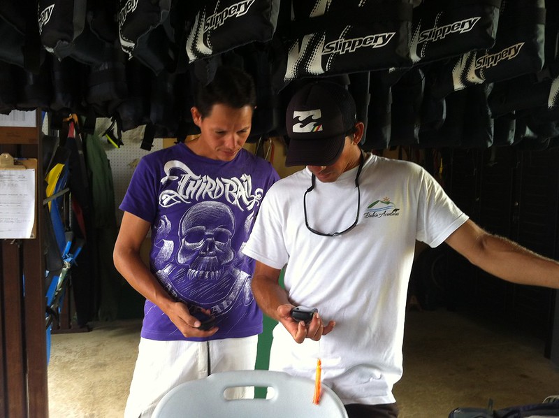
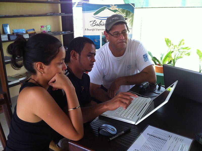
The following day, Bruss and Rocio explored a bit of Bahia Ballena with Luz and Fernando using GPS units from the project. They then returned to Bahia Aventuras to download their points and create their own map. They were excited to see the result and were discussing ideas they would like to explore in Piedres Blancas and how to recieve additional training using GPS and GIS. 

It was wonderful to see the sharing of knowledge of using GPS to collect data points and then transferring them on a map. And what’s better is that the residents of Bahia Ballena were teaching others. I think a transition has begun…

The start of a new school year

As the New Year begins, so too does a new school year for students in Costa Rica. Unlike the U.S. where summer vacation occurs during the months of June through August, students in Costa Rica graduate in December and go back to school in February.

At Escuela Verde, the teachers decided to spend some of their final summer days not only setting up their rooms and preparing for classes, but also wanting to learn more about what they can do with GPS and GIS with their students. During the school year last year, students were using GPS to record wildlife at a nearby wildlife refuge, conduct mathematical geocaching activities, observe rock and soil types, and explore plate tectonics.

Wednesday was the first of three training sessions for the teachers. With limited internet access at time at Escuela Verde, the training used book 2 from the Mapping Our World Series to learn the basics of ArcGIS Desktop. Joining us was Esteban, the new 5/6 grade Spanish speaking science teacher. Remember, Escuela Verde is a bi-lingual school with classes at every grade level being taught in English and Spanish by different teachers. Even with the lessons from Mapping Our World in English, the Spanish speaking teachers were able to explore an activity that can be used in their classroom.

Today was the second training and rather than meeting from 9-12, we decided as a group to meet at 7:30am so that we can get a start on heading out into the field to learn to use GPS. But to start any day off right, one needs a good cup of Costa Rican coffee.

We stayed on school grounds today as we had to modify our original plan to go to Playa Arco to collect due to another meeting the teachers had to attend. After collecting some points about features on the property, we returned to the library to setup the computers and then download the points onto ArcGIS Desktop. We’re using ArcGIS Desktop rather than ArcGIS Online due to the limited internet connection that exists at school. Even while stepping through downloading points, the electricity went out for 10 minutes.

Next Tuesday, we’ll meet for the final time before classes start so that the teachers can explore more activities with ArcGIS Desktop, create a map of Costa Rica, and develop and modify activities to use in their classes, which start Wednesday. This should be an exciting year to see the various activities and projects the teachers will do with their students.