Extending Geoporter’s reach: A volunteer’s view

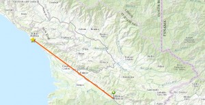
Geoporter recently expanded their work to the town of Piedras Blancas, Costa Rica. As a new Geoporter volunteer, this was an incredible opportunity for me to be part of the work Geoporter does. 

During my second week interning for Geoporter in Bahia Ballena we drove to the small community of Piedras Blancas to conduct a workshop.

image001

For the past three years Geoporter has based their projects in Bahia Ballena. However, their plan is to expand their work world-wide, and a first step is the expansion to Piedras Blancas.

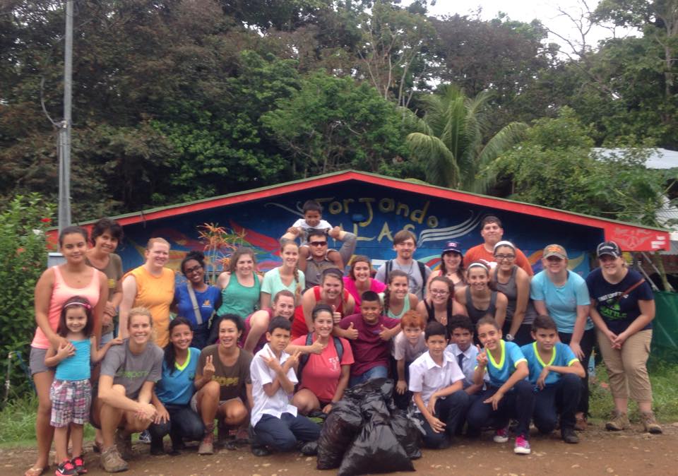
Since this was my first workshop I was as interested in the material as in the participants from Piedras Blancas. The workshop was conducted in Spanish, so at times I had trouble following the presentation and questions, but it was also a great opportunity for me to practice my Spanish.

image003

Amy taught us the basics of GPS and GIS, and then the group enthusiastically began to map. Through different types of activities the participants learned what they could do with a GPS unit and how latitude and longitude locations work with a GPS. Afterwards Amy demonstrated an interactive map and how it can be used to make informed decisions on global and local issues. The group wanted to learn more and so requested a follow-up workshop a few weeks later.

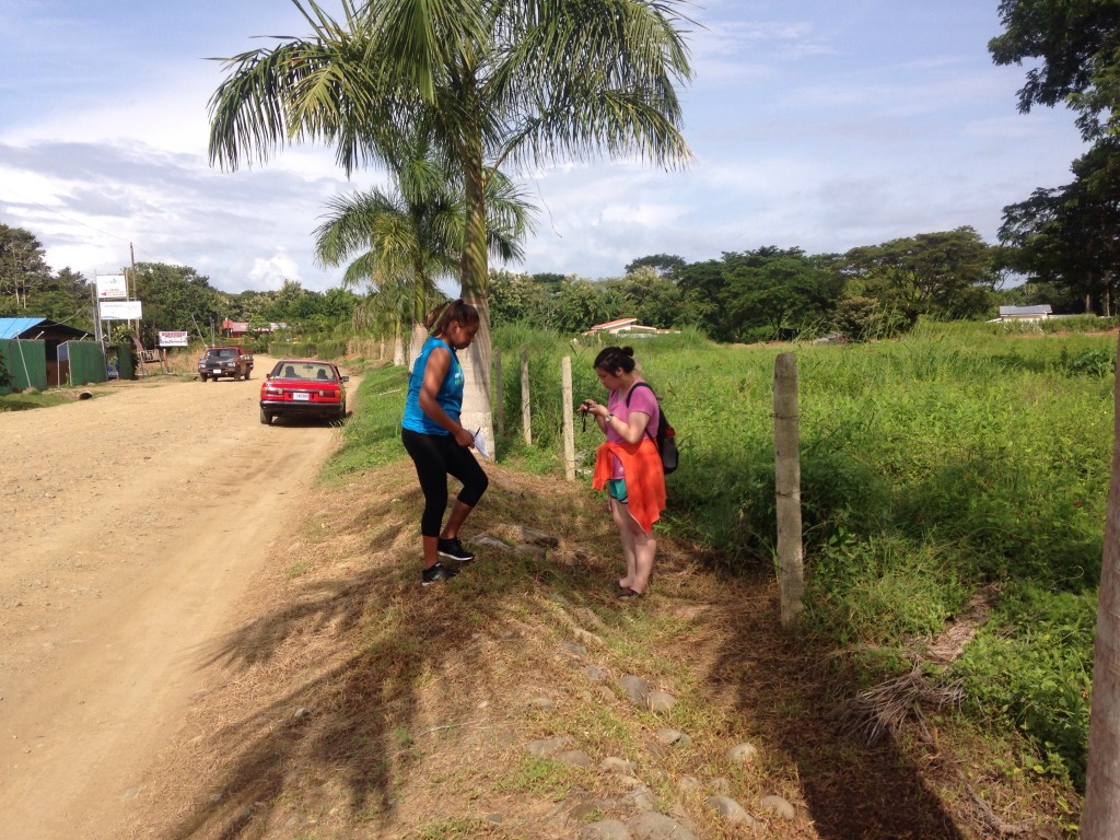
In Bahia Ballena time goes by quickly and it seemed like before I could blink it was already time for our second trip to Piedras Blancas. This time on the drive down I recognized places and landmarks from our previous trip, so the hour drive flew by. One objective for this workshop was to teach the participants how to create their own map using the online mapping tool, ArcGIS Online.
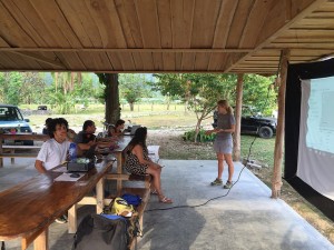
image002

By this time I had created some maps on my own and knew how to work with the program. So I was an active participant, but it was funny for me to try listen and speak in Spanish instead of English. The participants from Piedras Blancas were very interested in learning.  The group was tasked with brainstorming different projects that could use GPS maps and these were some ideas:

  • Investigating contaminated waters in the high density housing development
  • Reforesting areas of the community to bring back wildlife
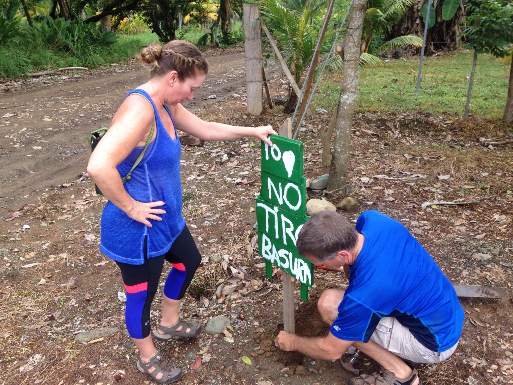
  • Mapping out areas of concentration of trash to demonstrate the need for curb-side trash pickup in the district of Piedras Blandas
  • Exploring sustainable agricultural practices

Another workshop will be held the middle of May. I’m working on my Spanish so I can join the conversation even more. I’m also looking forward to the drive because Costa Rica is such a beautiful country and the coast road offers amazing views.

image005

200 people in 7 months

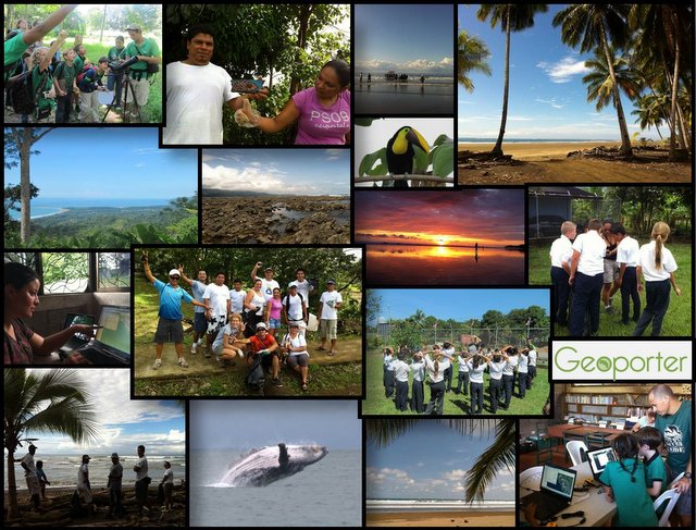
Since March of 2015, over 15 different groups, primarily from the United States, have visited Bahía and learned about Geoporter and how GIS and GPS are being used by the community. Some groups had the ability to participate in longer projects, but in total, 200 unique individuals, both students and adults, have participated in Geoporter projects since last spring.

10501792_816360558447740_299390482848940730_n

These groups come from a variety of different sources. They include groups from Bodhi Surf, Global Leadership Adventures, Best Adventures Travel, Holbrook Travel and most recently, Discover Corps. This year we also had three university groups; Johnson State College, the University of Alabama and the University of Georgia.

image

  • Global Leadership Adventures (GLA) is for high-school-aged youth from countries around the world. They spend 14 days here in the community in the program Protecting the Pacific. The five summer 2015 groups mapped trash along the beaches and helped identify locations to plant trees as part of the Semilla de Ballena Reforestation Project. They also spent many hours helping to build the Vivero, or nursery that will house next year’s seedlings and trees. This is the third year working with GLA.
  • Discover Corps is an adult and family-oriented program in association with The National Peace Corps Association. This year Geoporter worked with six different groups ranging in size from a single family to 19 individuals. These groups participated primarily in the Clean Streets, Clean Waters program and continued our awareness campaigns to keep the community clean and trash free.

image

The three university groups had different focuses:

  • Johnson State College, Vermont – Received a presentation and saw the projects in action while they visited and participated in various community projects.
  • University of Georgia, One Health through Bodhi Surf – heard how GIS is being used to help investigate some health concerns in town such as contaminated waters. They also saw in action the Participatory Whale Monitoring project during their boat tour.
  • University of Alabama, Spatial Ecology and Conservation Lab – helped examine the relationship between the trash data collected and the location of household trash containers on the streets of Bahía.

image

These groups have helped to explore community projects in greater detail. Many have also taken what they’ve learned about how to apply GPS and GIS back to their own communities or projects. Geoporter looks forward to continuing to work with these groups and new ones in the coming months. If you are interested in bringing a group down, contact us and we can help you arrange a trip.  

Changes in attitudes changes in latitude

What started as a student-led project to clean up the local soccer field and school grounds has led to a community wide effort in Bahia Ballena to keep the city clean. Local efforts have made a huge difference in managing trash, and in turn, helping to protect the waters of adjacent Marino Ballena National Park.

45_trash1

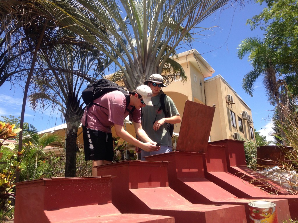
Weekly cleanups that mapped collected trash, led to local businesses organizing resources to construct mini trash and recycling centers around town. Discussions with the local municipality have led to an agreement for the municipality to pick up the trash from these eight new trash/recycling containers in town. Local businesses still retain the responsibility for placing bags in the containers to ensure an easy pickup for the municipality.

45_trash_streetbelow

While Anita and I were visiting Bahia Ballena in September, we encountered U.S. tourists Laurie and Bob who were participating in community projects through Discover Corps during the 7th Annual Festival of Whales and Dolphins. We first met them picking up an empty soda bottle to recycle when they recognized Amy. When asked how they were enjoying the Festival, they replied how different the community was to that of the community across the river where they had visited earlier in the week. In that community, they had purchased ice cream from the store and searched extensively just to throw away the wrapper. They remarked how clean the Bahia Ballena soccer field was earlier that day where they played a makeshift softball game and how the houses and shops leading to the park were brightly colored and the trash centers were brightly painted. “I would love to come down and volunteer more in this community” remarked Laurie to which her husband replied, “It is great to spend my vacation in a place that is excited and appreciative to work on their community spaces!”. We couldn’t agree more!

Geoporter seeks to catalyze change here and our neighboring communities!

~ Roger Palmer

Seeds of change are planted early!

As a grade-5 student, Maria Paula was one of the first Bahía Ballena community members we (Roger Palmer and Anita Palmer) met and worked with. This was in 2009, three years before we officially became Geoporter. One of our favorite workshops and activities in the community during that time was working with the local grade school, Escuela La Flor de Bahía and with the after school club Groupo Surf, started by Travis Bays of Bodhi Surf. MariaPaula_grouptrashcollectionDuring these workshops, young students learned the use of GPS and GIS mapping for fun as well as use in authentic community projects. Maria Paula was one of the interested students who continued to meet through Groupo Surf activities. They were able to apply GPS and GIS to ocean conservation, mapping their town and a project they personally decided to conduct… a “little” trash-mapping project.
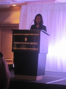
MariaPaula_LAUsersConfBy 2011, that little trash-mapping project garnered attention from Geotecnologías, a company in San Jose, who was the local organizer of the Latin American User Conference for professional GIS users. With the help of a local Peace Corps volunteer to prepare and practice, Maria Paula presented an inspirational plenary presentation on how she and other students used geospatial technologies and Esri mapping technologies to encourage her community to care about trash and to use these technologies to do something about it! All this was presented to a ballroom filled with over 500 professional GIS users from all over Latin America! There certainly were a few moist eyes that day and all adults were amazed at her poise and grace while just turning 13 years old. Needless to say, the resulting standing ovation was not a surprise!
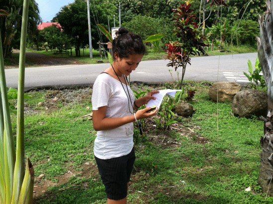
So what happened with the “little” trash-mapping project? It has flourished and grown and the culture of trash in the community and even parts of the region has changed in the past six years. Trash cleanups now engage dozens of community members including local hotel owners, tour guides, boat captains and even visiting tourists, both adults and children alike. Over ten recycling and trash centers have been established and the local municipality has agreed to pick up the trash on a regular schedule. This agreement is unique in that it was propagated by the proactive work that is being done by the community members of Bahía Ballena!

MariaPaula_FieldCollectionAnd how about Maria Paula today? She is now in grade 11 at the colegio (high school) with hopes and dreams of perhaps attending college, a rare opportunity for many rural students. She leads a normal community life of playing goalie on the local women’s soccer teams, keeps up with school work and of course spends time with friends and on Facebook. What makes her stand out is her willingness to still step forward and volunteer to work with community improvement projects.
MariaPaula_Festival2015
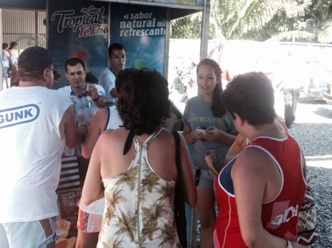
During these first three weekends of September, Maria Paula conducted digital surveys of visitors at the 2015 Festival of Whales at Marino Ballena National Park over the six days of the festival. These surveys will result in many more volunteers to participate in the new mapping and improvement projects in Bahía Ballena and the region. Maria Paula’s volunteer contributions over the years and today are indeed a part of putting her community on the map.

~Anita Palmer

On your mark, get set…..Snap!

Yep, you’ve got it. For more than a year now we’ve managed to build a collection of thousands of photos. We are going through these photos to find a few of our favorite photos (this is going to be really, really, really hard) and we want to share these photos with you or someone special.

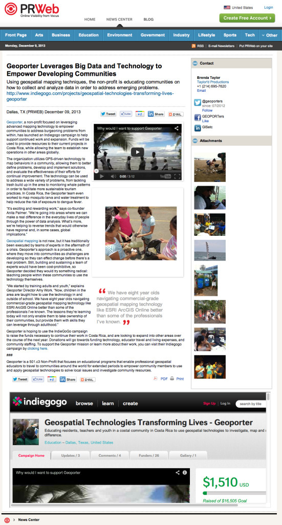
So here’s the deal:  We know you have many special people in your life. So just find one and when you DONATE ANY AMOUNT you wish to our FUNDRAISING CAMPAIGN (you have until December 28) and we will send a digital holiday card to this special person wishing them a Happy New Year. The holiday card will share some of our favorite moments since we’ve been down here. While all you have to do is identify a person (or people and donate a few different times), your gift will keep on giving! If you have several people you can make a few donations in their name. Your contribution will continue to help Geoporter make a difference educating community residents here in Bahia Ballena and other new communities, how to use geospatial mapping technologies.

Here’s a quick look at just a few of our favorite photos. But I must tell you, we have thousands!
HolidayCard2013_v1-640

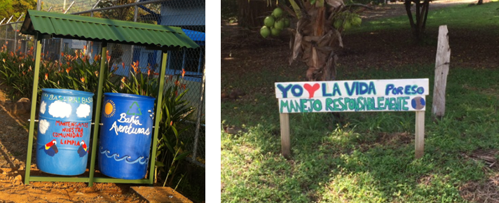
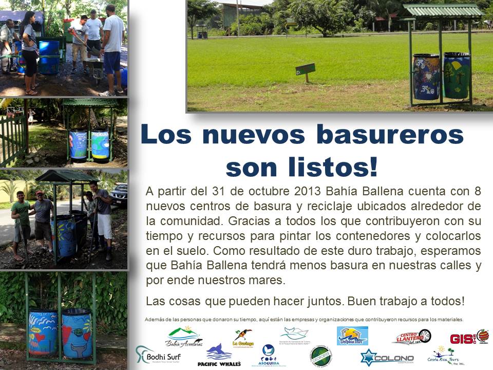
We have eight new trash and recycling centers!!

With a little creativity along the way, a lot of hard work by many, many individuals in town, what was one a vision has become a reality. Recently, Geoporter in conjunction with eleven other companies constructed, painted, and placed eight new trash and recycling centers in town. Next year around this time, we will have mapped the trash again to see if these containers are helping to make a difference in the trash problem in town. Thanks to all those who participated!!

basureros-bahia-ballena

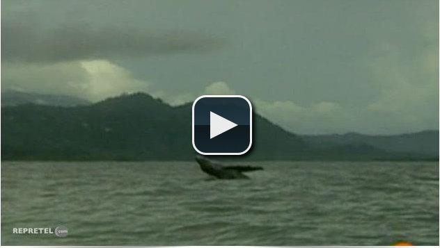
Monitoring Whales on National TV in Costa Rica

The Festival of Whales and Dolphins brings many people here to Bahia Ballena for two weekends in September, including many TV stations. This year, our second year here for the Festival, we connected with Repretel, a national Costa Rica news station. After watching the President of Costa Rica, Laura Chinchilla, speak at the opening festivities, we were connected with Repretel through individuals from MarViva, with whom we’ve met with before and explained the Geoporter projects.
Repretel asked to see how the GPS units were being used to monitor the whales in Marino Ballena National Park. We were send Repretel out with Bahia Aventuras and their guides and captains Reymer, Cristian, and Marlon, to show them the process of recording the whale sightings with GPS.
While the seas were a bit rough for capturing video, here is the report that was broadcast on Repretel, Channel 11 this past Wednesday, the 12th of September.
Repetel Geoporter Video

Perspectives of my first week volunteering with Geoporter

I arrived in the beautiful town of Bahía Ballena a week ago, and have witnessed Geoporter work in full swing. This week, I focused on trash and whale monitoring.  However, it is clear that there is potential for GPS and Geoporter analysis in many corners of Bahía Ballena.

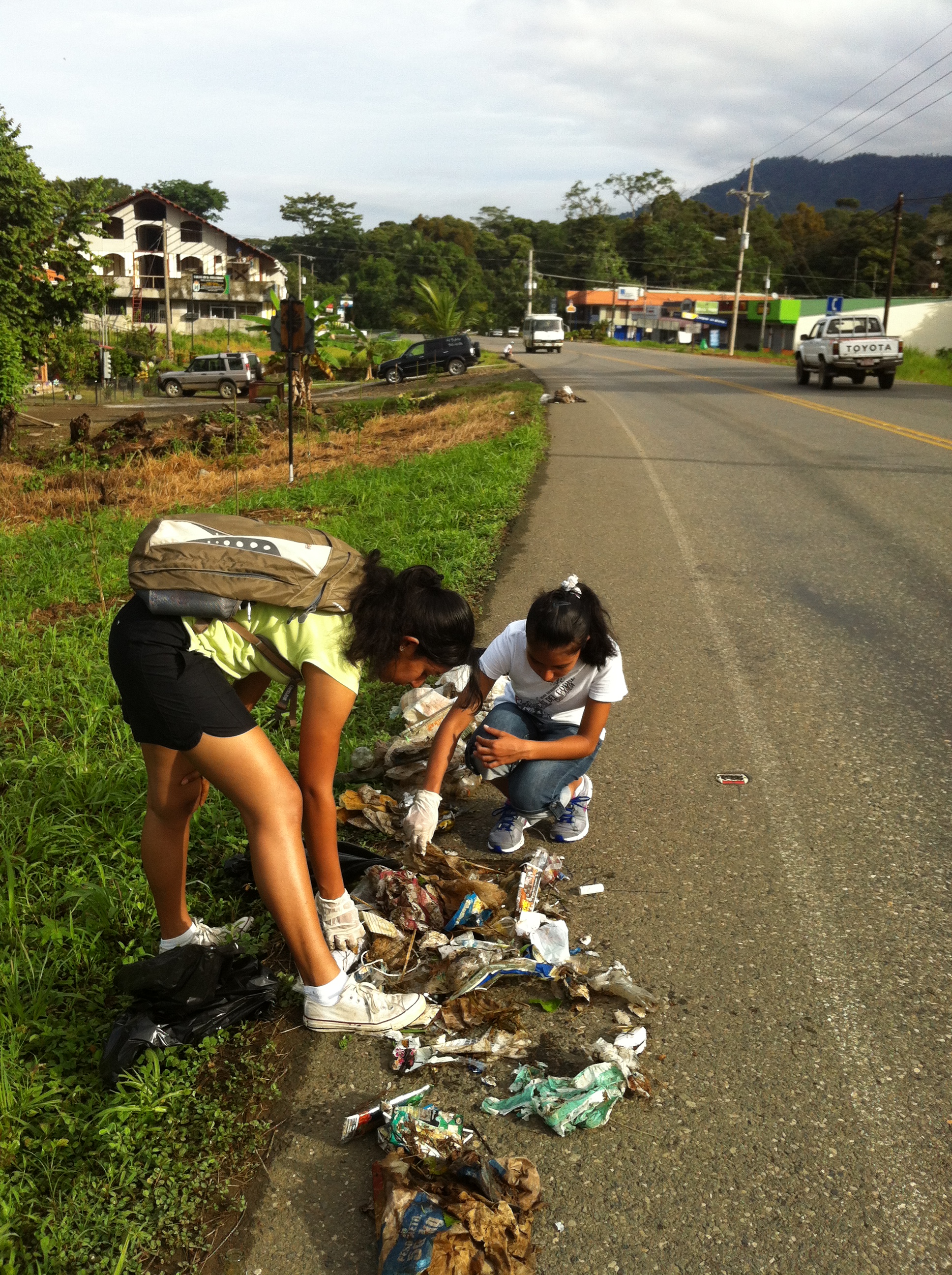
One the trash front, we collected between the two BM supermarkets early on Friday morning. We had a great crew with us, and were able to collect along the entire stretch in two hours. As expected, we collected mainly plastic items, many of which were related to food. I began analysis of the previous data, searching for trends and points to improve upon. I found that: A) the red zones for trash are in the school zone, along the highway, and near the bars and restaurants; B) most of the trash collected is actually recyclable; and C) most of the trash is related to food or drink consumption. With this in mind, we can make recommendations for steps forward to mitigate the trash problem here in the community.

Trash Collection Costanera

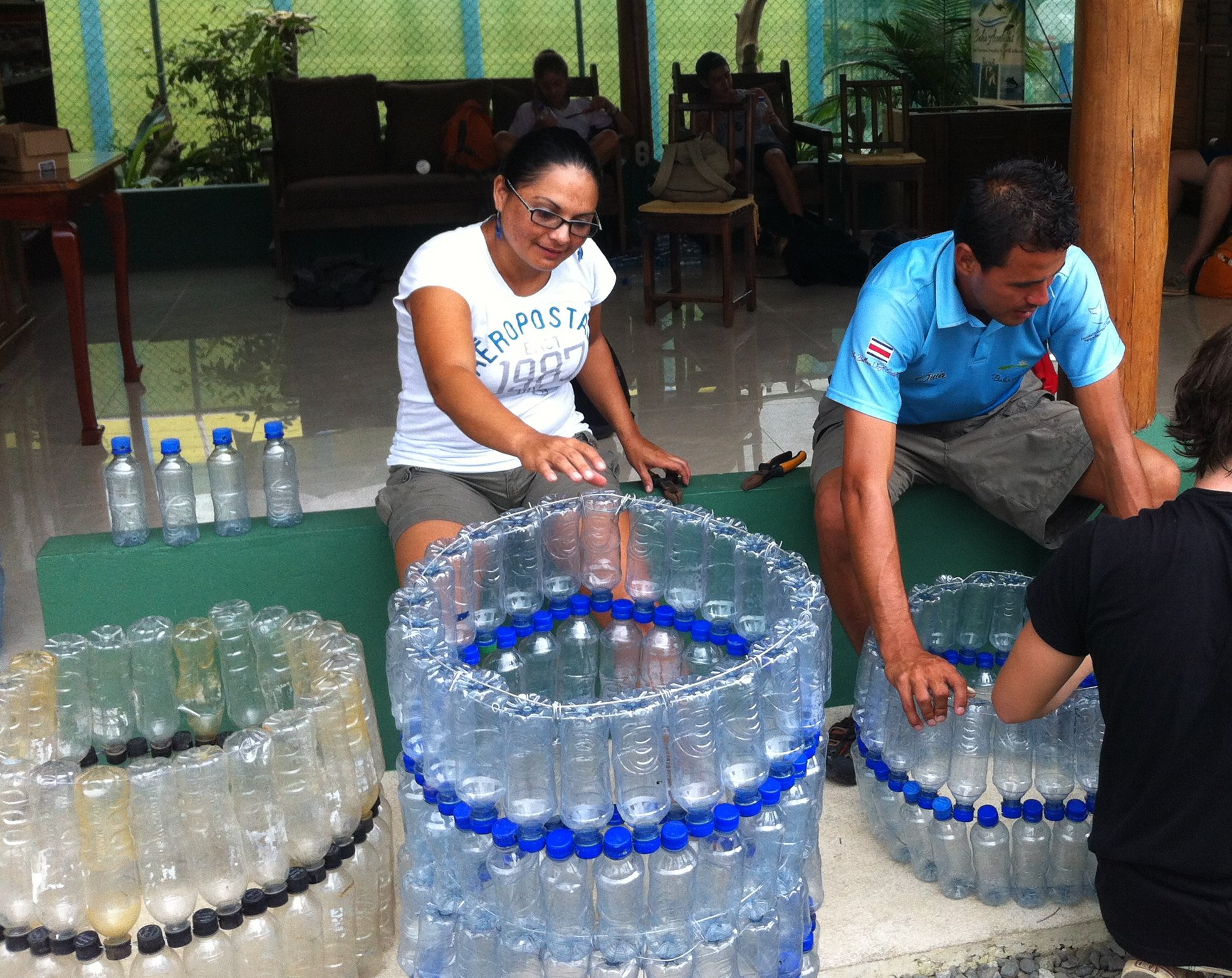
One of the main points that we wish to stress is the connection between trash and beauty. Less trash would mean a clean beach with healthier animals. Less trash on the ground means less people are likely to litter, leading to a more beautiful landscape. I was particularly inspired by how some community members have taken it into their own hands to actively turn the trash in to beautiful projects: the plastic bottle basureros and Luz’s jewelry. Projects like these exemplify a cultural shift in the community’s relationships with waste.

2013-07-12 14.50.16

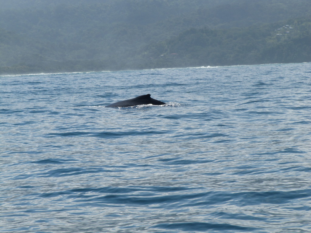
This week we had a meeting with the association of guides in Bahía Ballena.  We practiced using new and more durable whale monitoring sheets. The new ones can withstand the winds and wetness that often accompany boat tours. I was lucky enough to go out on a combo tour with Bahía Aventuras where I saw the new sheets in action.  Plenty of whales and dolphins, too!

marino-ballena-national-park-costa-rica-geoporter-whales

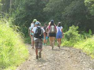
I keep coming across different potential uses for GPS and geospatial technologies in Bahía Ballena.  For instance, today I went on a hike and learned that trails are relatively unmarked and unmapped. Maps made possible by GPS could open the doors to a new sector of tours branching from Bahía. We saw plenty of wildlife on the hike: sloths, monkeys, butterflies, and frogs. All these animals could be mapped, just like the whales.  This could open the doors towards a more developed guided hike business in the community.

mtn-hike-bahia-ballena-geoporter

Amy, Fernando, and I drove up to Hacienda Baru, a National Wildlife Refuge and Lodge, to give a presentation about the potential of GPS and GIS in their reserve. They were interested in using it for tracking turtle locations, animals and trees. The possibilities seem broad, and they were excited to get going in the learning process. We plan on returning later for further trainings.

Some next steps forward for Geoporter are to continue to train community members in using our technologies and making sure that whatever data is collected is put to a practical use.

More later!
Maggy

Geoporter has it’s first Volunteer!

Geoporter has been lucky enough to have it’s first volunteer. Margaret Wenzlau, from Stanford University, will be here in Bahia Ballena for 1 month. Arriving July 13 she will assist in the various Geoporter projects. These projects include Mapping for Trash Elimination, Monitoring Whales in Marino Ballena National Park, and helping to get a new project off the ground that will involve recording animals killed on the Costanera, between Hacienda Baru in Dominical, and Playa Ballena, just south of Bahia-Uvita. We’ve invited Maggy to share some of her experiences here on our blog. We are excited to have Maggy here with us in Bahia Ballena and share with all of you some of the exciting this from her perspective!