Extending Geoporter’s reach: A volunteer’s view

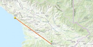
Geoporter recently expanded their work to the town of Piedras Blancas, Costa Rica. As a new Geoporter volunteer, this was an incredible opportunity for me to be part of the work Geoporter does. 

During my second week interning for Geoporter in Bahia Ballena we drove to the small community of Piedras Blancas to conduct a workshop.

image001

For the past three years Geoporter has based their projects in Bahia Ballena. However, their plan is to expand their work world-wide, and a first step is the expansion to Piedras Blancas.

Since this was my first workshop I was as interested in the material as in the participants from Piedras Blancas. The workshop was conducted in Spanish, so at times I had trouble following the presentation and questions, but it was also a great opportunity for me to practice my Spanish.

image003

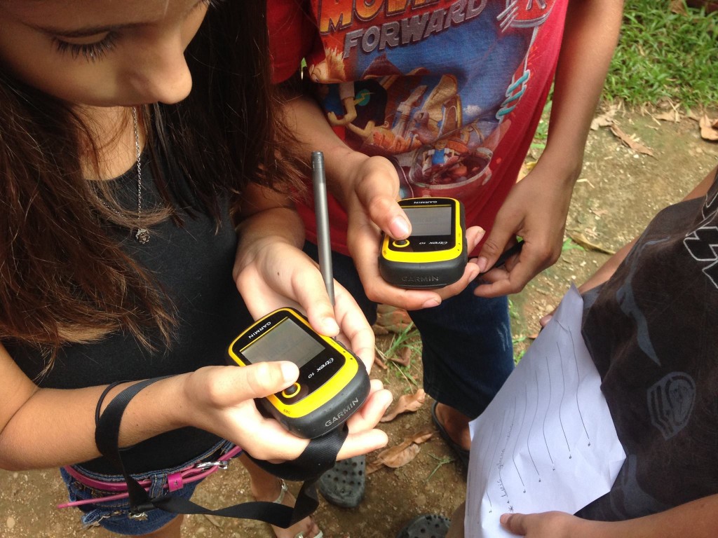
Amy taught us the basics of GPS and GIS, and then the group enthusiastically began to map. Through different types of activities the participants learned what they could do with a GPS unit and how latitude and longitude locations work with a GPS. Afterwards Amy demonstrated an interactive map and how it can be used to make informed decisions on global and local issues. The group wanted to learn more and so requested a follow-up workshop a few weeks later.

In Bahia Ballena time goes by quickly and it seemed like before I could blink it was already time for our second trip to Piedras Blancas. This time on the drive down I recognized places and landmarks from our previous trip, so the hour drive flew by. One objective for this workshop was to teach the participants how to create their own map using the online mapping tool, ArcGIS Online.
image002

By this time I had created some maps on my own and knew how to work with the program. So I was an active participant, but it was funny for me to try listen and speak in Spanish instead of English. The participants from Piedras Blancas were very interested in learning.  The group was tasked with brainstorming different projects that could use GPS maps and these were some ideas:

  • Investigating contaminated waters in the high density housing development
  • Reforesting areas of the community to bring back wildlife
  • Mapping out areas of concentration of trash to demonstrate the need for curb-side trash pickup in the district of Piedras Blandas
  • Exploring sustainable agricultural practices

Another workshop will be held the middle of May. I’m working on my Spanish so I can join the conversation even more. I’m also looking forward to the drive because Costa Rica is such a beautiful country and the coast road offers amazing views.

image005

Ten things I learned volunterning with Geoporter…

Last year Lucy visited Bahia Ballena to get involved with Geoporter. She shares what she learned in her time with us.

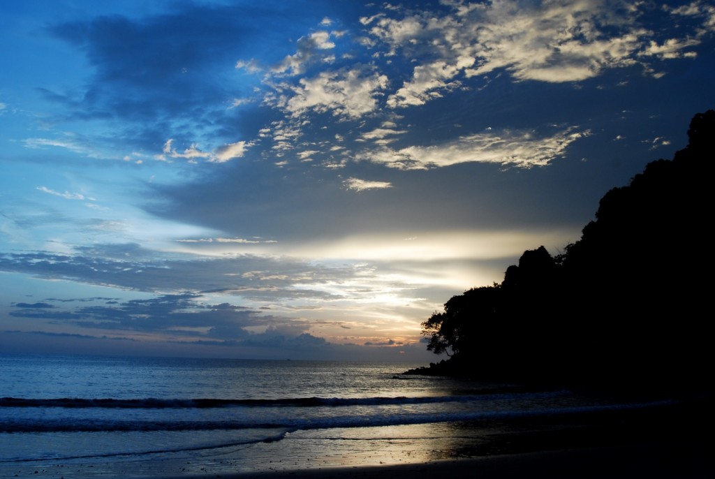
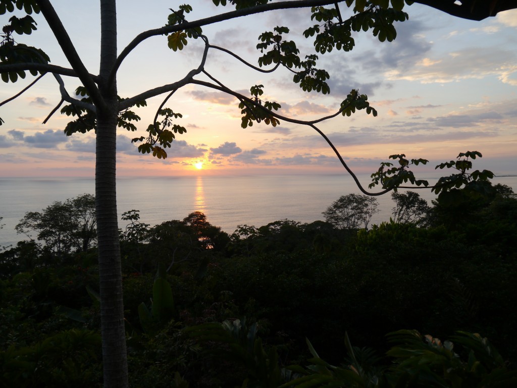
  1. Costa Rica is one of the most incredible countries in the world. Don’t believe me? Browse Geoporter’s flickr for just a few moments to appreciate the incredible diversity of plant and animal life, the friendly and open nature of Ticos and Tica’s alike, and the awe inspiring weather, from rainstorms to breath-taking sunsets.

P1070607

  1. Kids are fun! An afternoon geocaching with the young people that attend Forjando Alas youth group was amazing. Their enthusiasm to learn more about GPS technology and their energy to apply their knowledge RIGHT AWAY is infectious! Plus, it’s smiles all round when they answer the quiz questions you came up with correctly! 1498025_916501508433644_2134112300767272216_o
  1. We all have more to teach each other than we realise. Skills you might take for granted in yourself can be seen as incredibly valuable by another. Turns out, knowing how Facebook works and its little quirks is actually pretty handy to Geoporter and the growing businesses of Bahia Ballena.
  1. A GPS isn’t a compass (or an iPhone on map mode!). Note to self – spinning gets you nowhere!
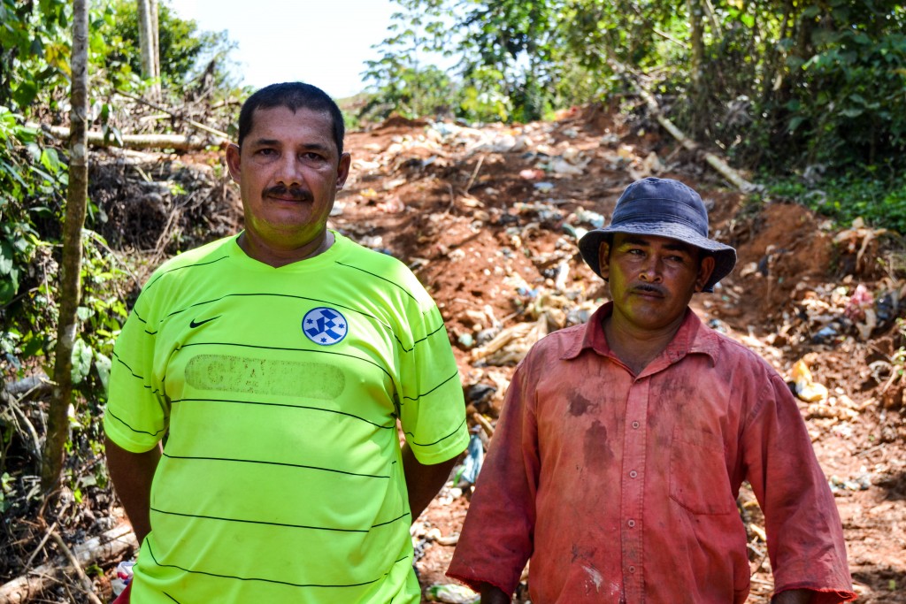
  1. No matter where you are in the world, rubbish is still a sad reality of life. It has the potential to ruin paradise unless we take action. Luckily, Geoporter and the folks of Bahia Ballena are on the case.

23807471276_db66b0f0b7_o

  1. Learning a new language is HARD. But learning it is fun, especially when you get words mixed up! And when you finally start to get there – it’s so rewarding!
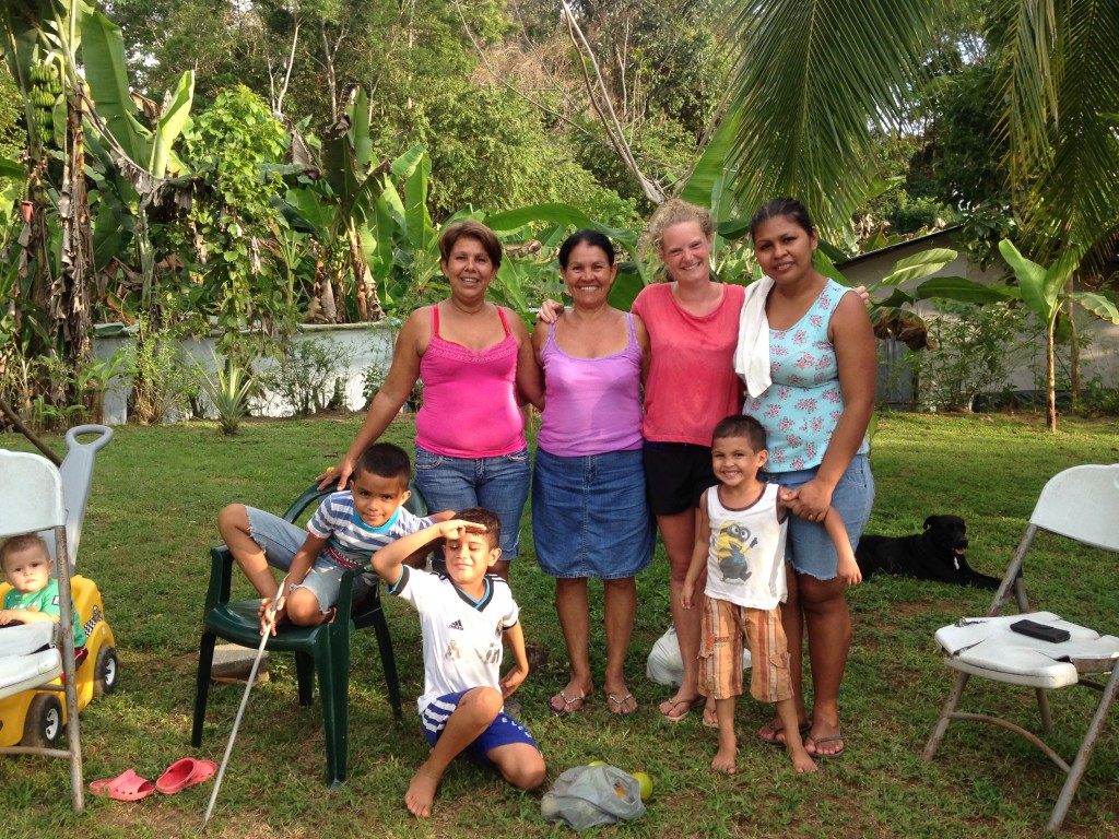
  1. Language is never a barrier to friendship. I will be eternally grateful to Flor for taking me into her home for a month, and to the (seemingly never ending!) stream of her family members who became my friends and helped me feel welcome in Bahia Ballena.

23556006114_50511751e6_o

  1. GIS can generate more questions than answers! Geoporter has been on an incredible journey, mapping the trash of Bahia Ballena. Brilliant actions have been taken as a result of these maps, and the community continue to educate themselves about their waste. But, studying the maps always leaves new questions to be answered – what happens to the trash once it leaves the community? Are we sending the right type of trash to be recycled? Asking questions is vital to educate ourselves about the impact we have on the world around us, and Geoporter continues to do that.
  1. Water is an incredibly precious resource. We all know this of course, but living for a month in a community that’s developing rapidly and is working with Geoporter to map its water sources brought home just how vital it is that this resource is secured for all in the future.
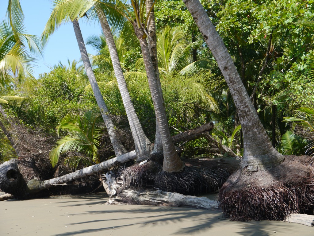
  1. Sea levels are rising. Whilst millions of us already know this, coming face to face with the reality of rising tides in Bahia Ballena was shocking. Trees are being eaten up at an alarming rate, leaving beaches and wildlife without protection. Thankfully, Geoporter and the community of Bahia Ballena are taking steps to mitigate this, but the question still stands – will we still have coastal rainforests in ten years time?

24969442081_c25eaa2da0_o