Extending Geoporter’s reach: A volunteer’s view

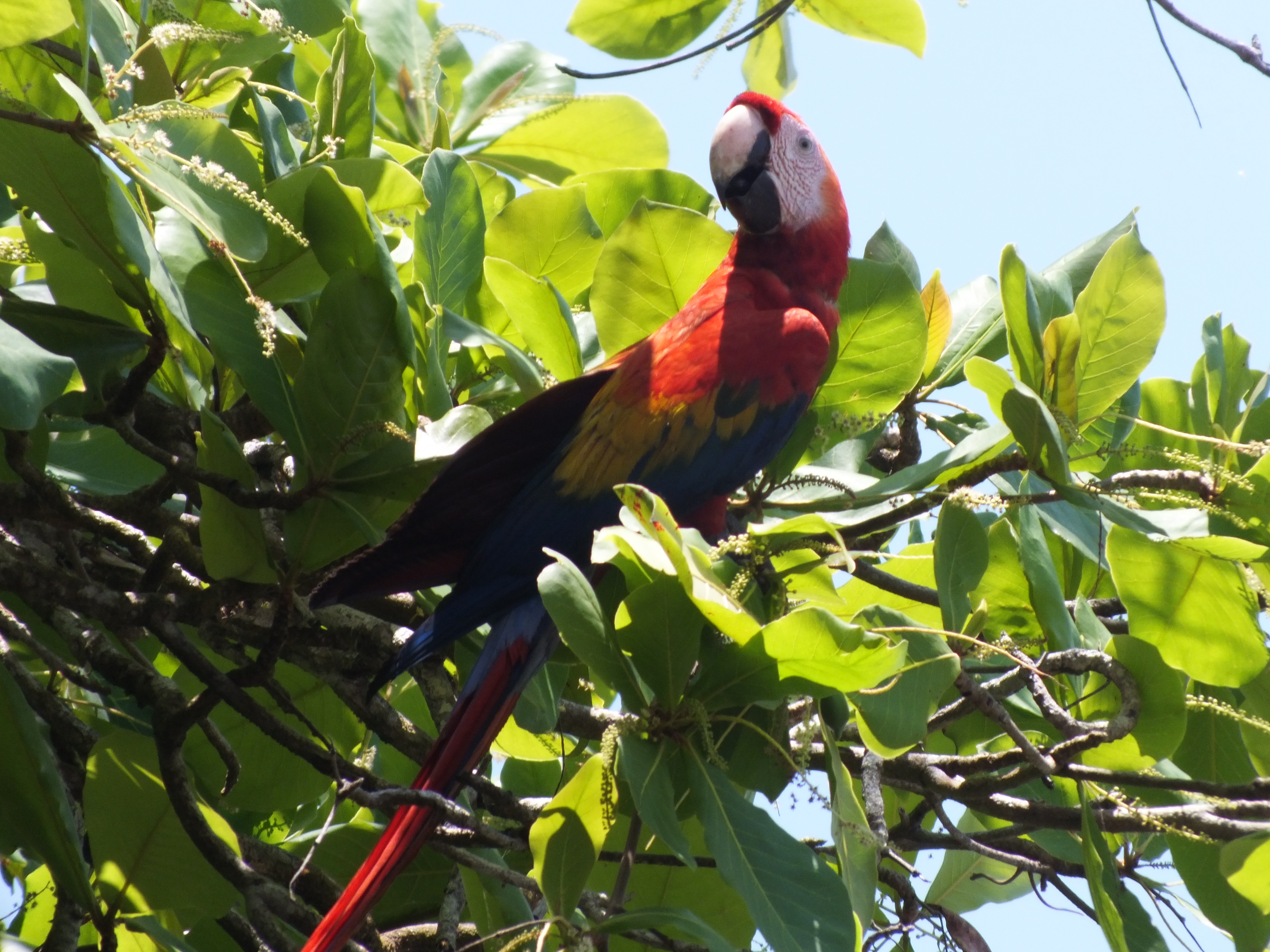
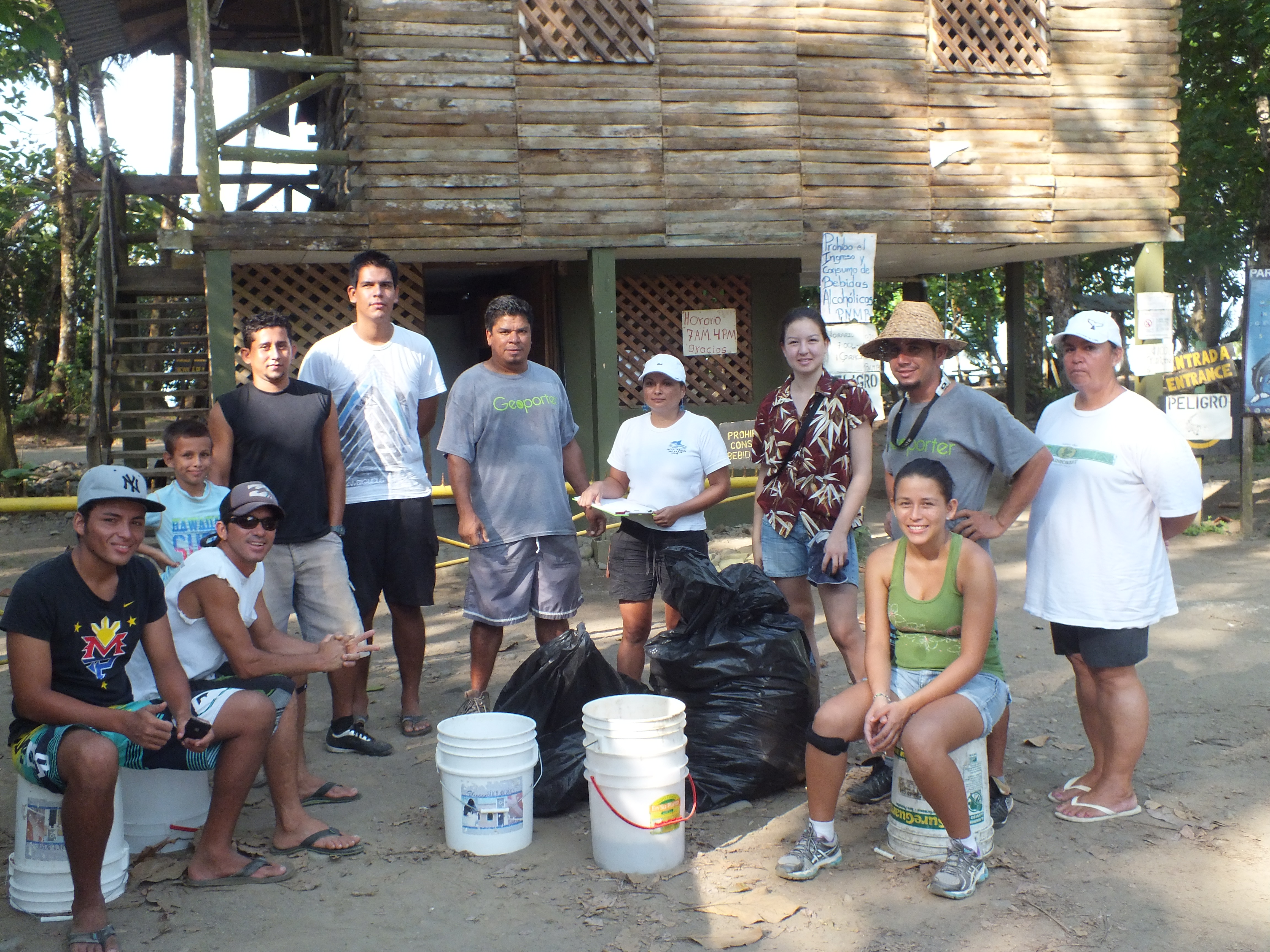
Geoporter recently expanded their work to the town of Piedras Blancas, Costa Rica. As a new Geoporter volunteer, this was an incredible opportunity for me to be part of the work Geoporter does. 

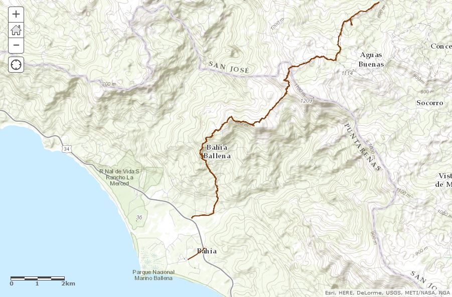
During my second week interning for Geoporter in Bahia Ballena we drove to the small community of Piedras Blancas to conduct a workshop.

image001

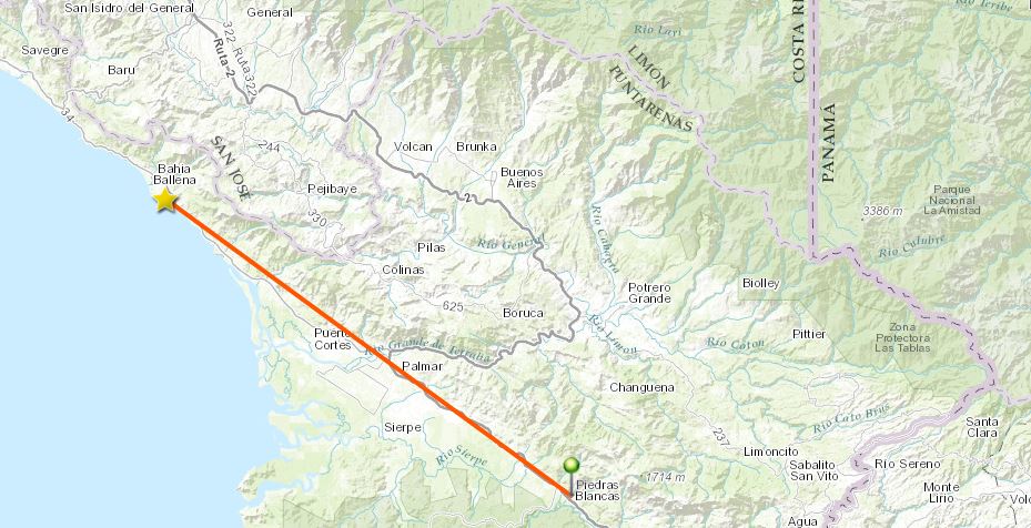
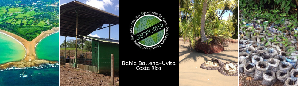
For the past three years Geoporter has based their projects in Bahia Ballena. However, their plan is to expand their work world-wide, and a first step is the expansion to Piedras Blancas.

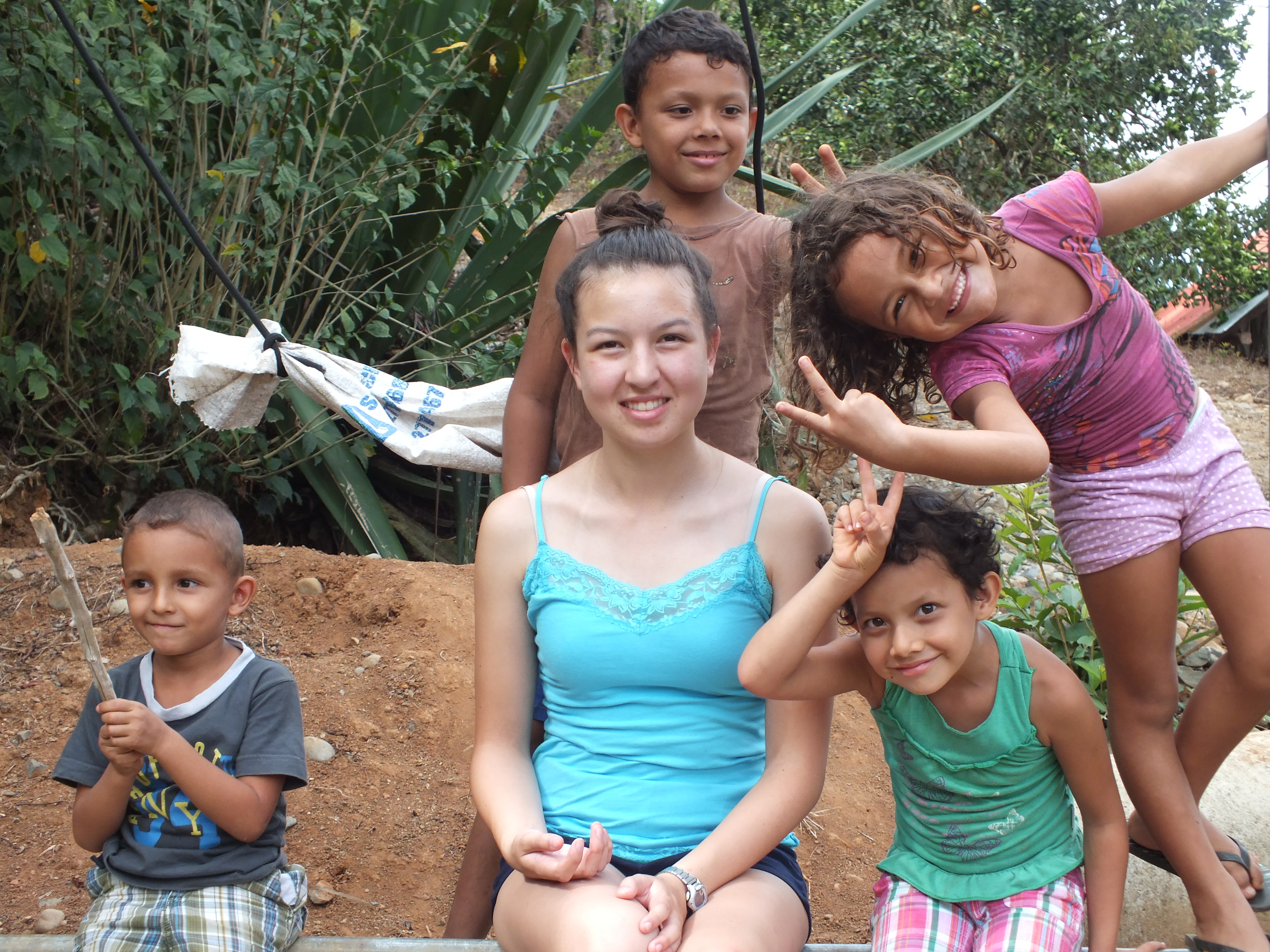
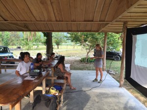
Since this was my first workshop I was as interested in the material as in the participants from Piedras Blancas. The workshop was conducted in Spanish, so at times I had trouble following the presentation and questions, but it was also a great opportunity for me to practice my Spanish.

image003

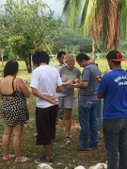
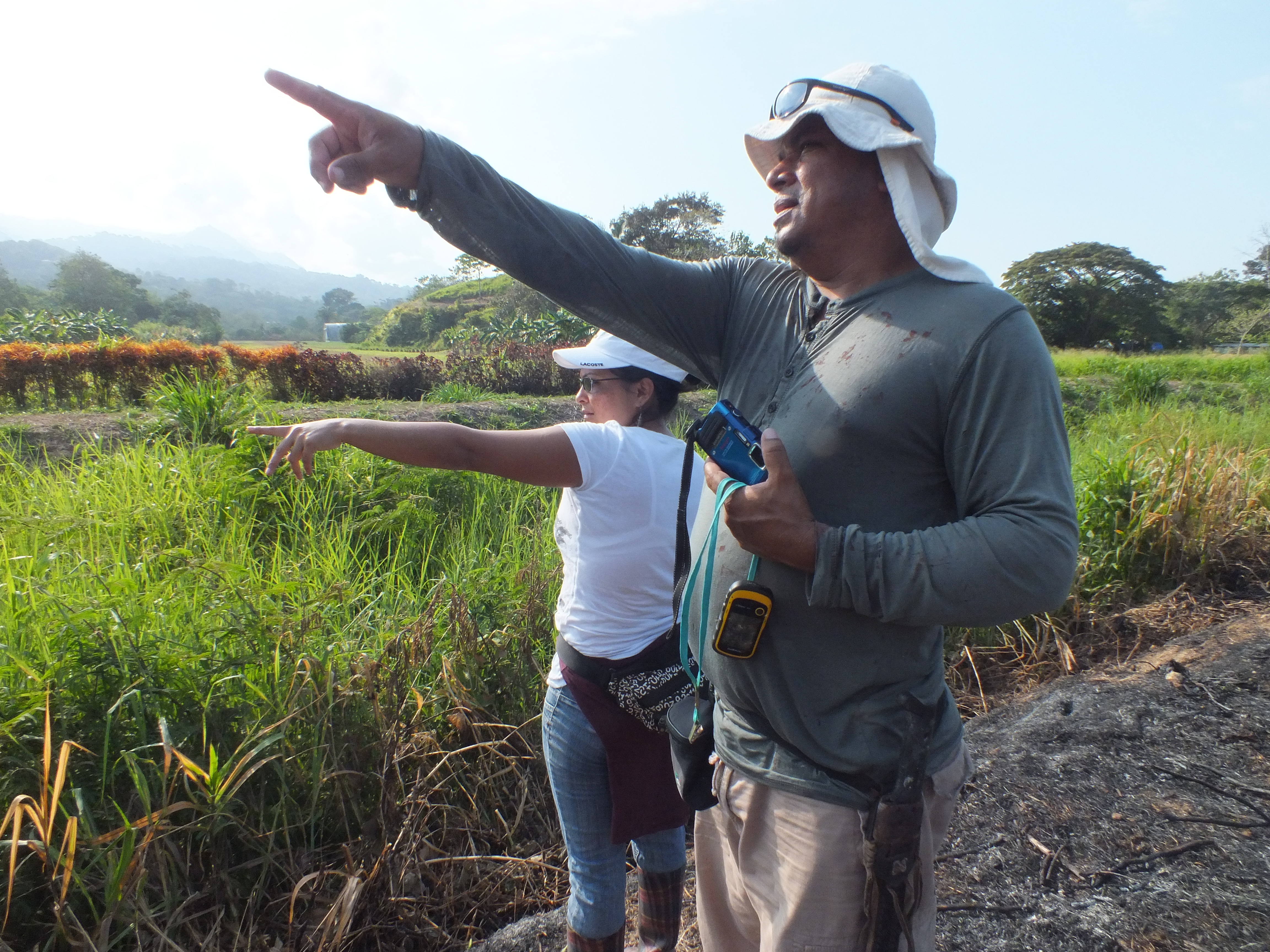
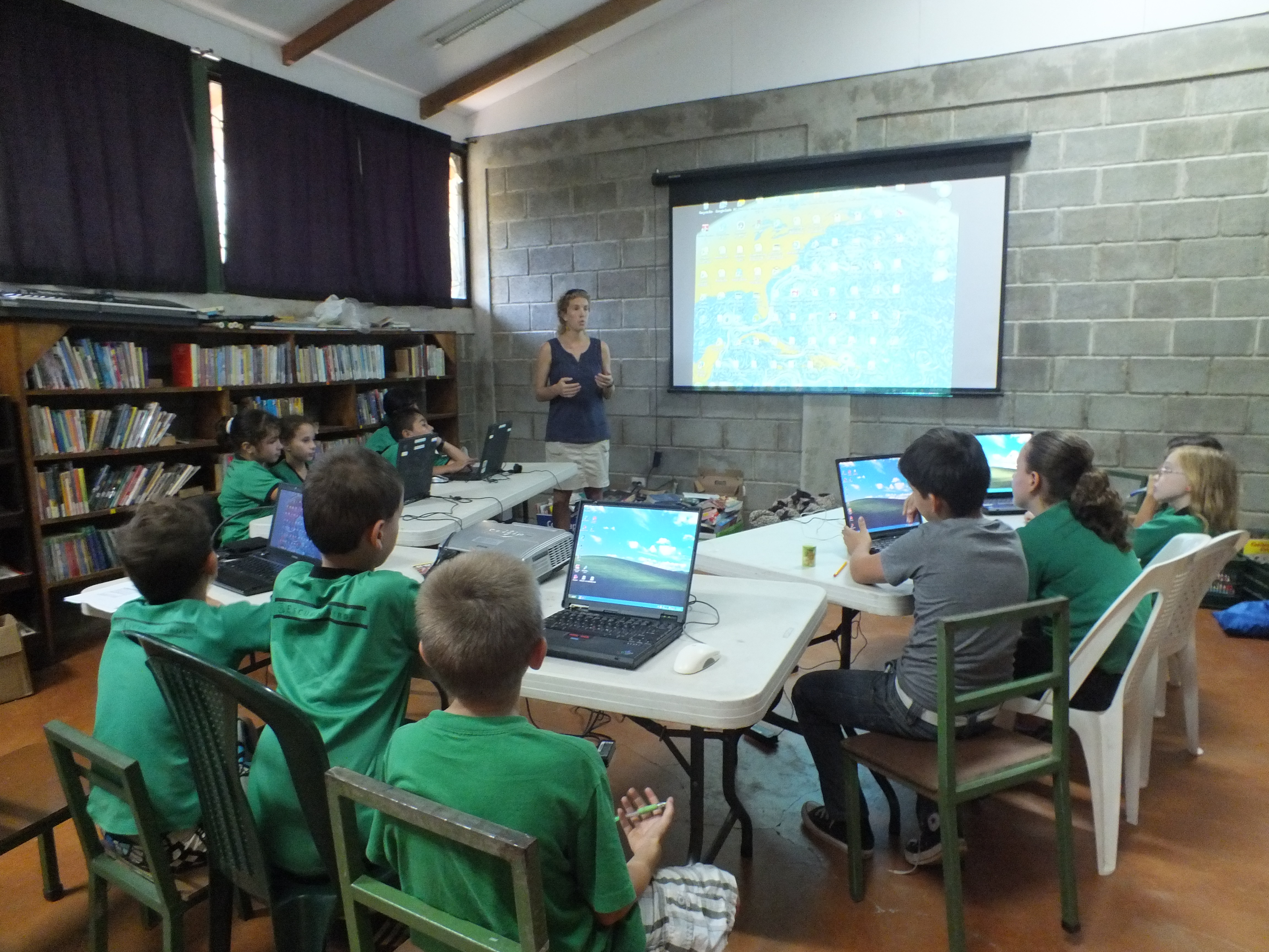
Amy taught us the basics of GPS and GIS, and then the group enthusiastically began to map. Through different types of activities the participants learned what they could do with a GPS unit and how latitude and longitude locations work with a GPS. Afterwards Amy demonstrated an interactive map and how it can be used to make informed decisions on global and local issues. The group wanted to learn more and so requested a follow-up workshop a few weeks later.

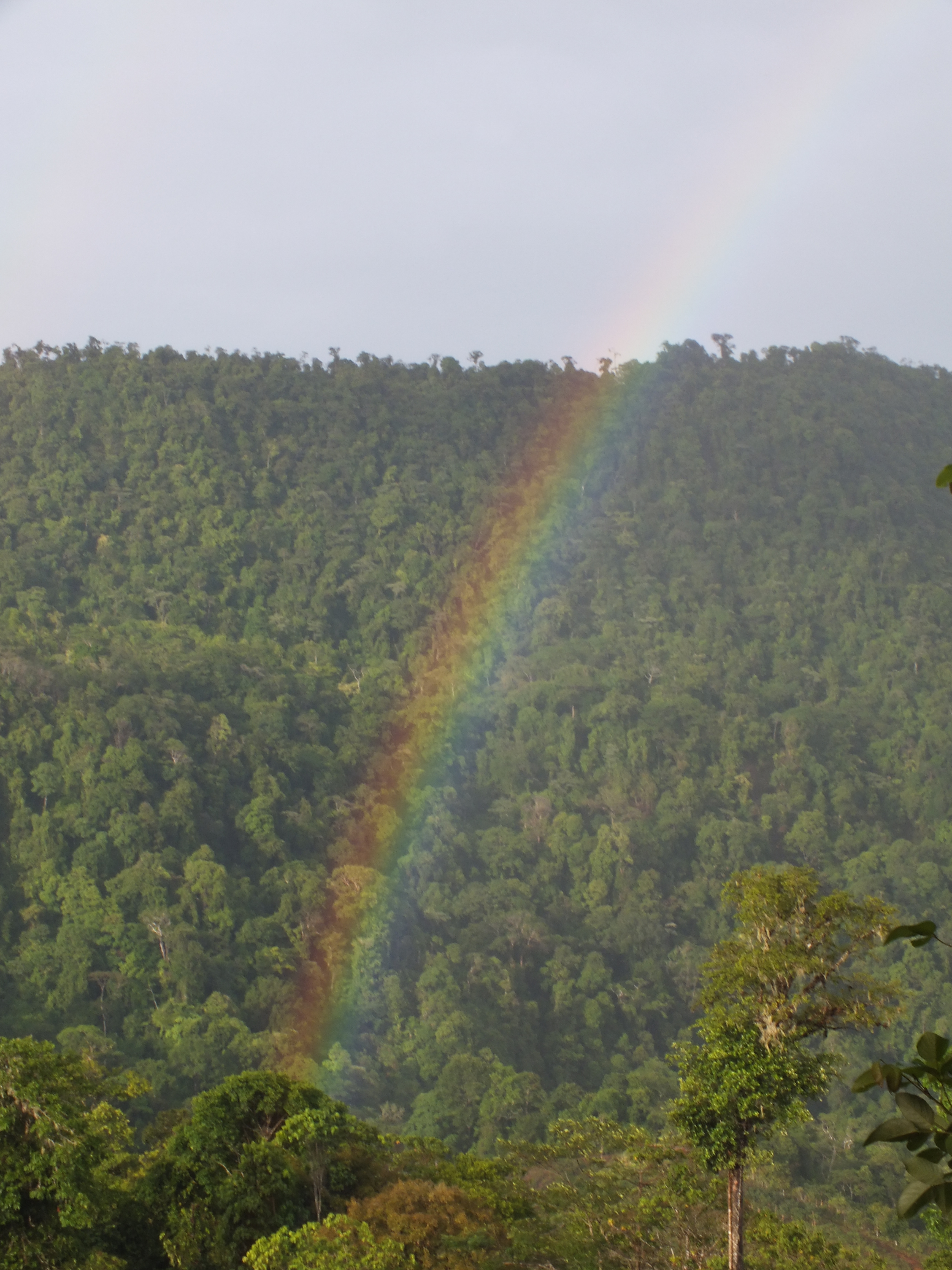
In Bahia Ballena time goes by quickly and it seemed like before I could blink it was already time for our second trip to Piedras Blancas. This time on the drive down I recognized places and landmarks from our previous trip, so the hour drive flew by. One objective for this workshop was to teach the participants how to create their own map using the online mapping tool, ArcGIS Online.

image002

By this time I had created some maps on my own and knew how to work with the program. So I was an active participant, but it was funny for me to try listen and speak in Spanish instead of English. The participants from Piedras Blancas were very interested in learning.  The group was tasked with brainstorming different projects that could use GPS maps and these were some ideas:

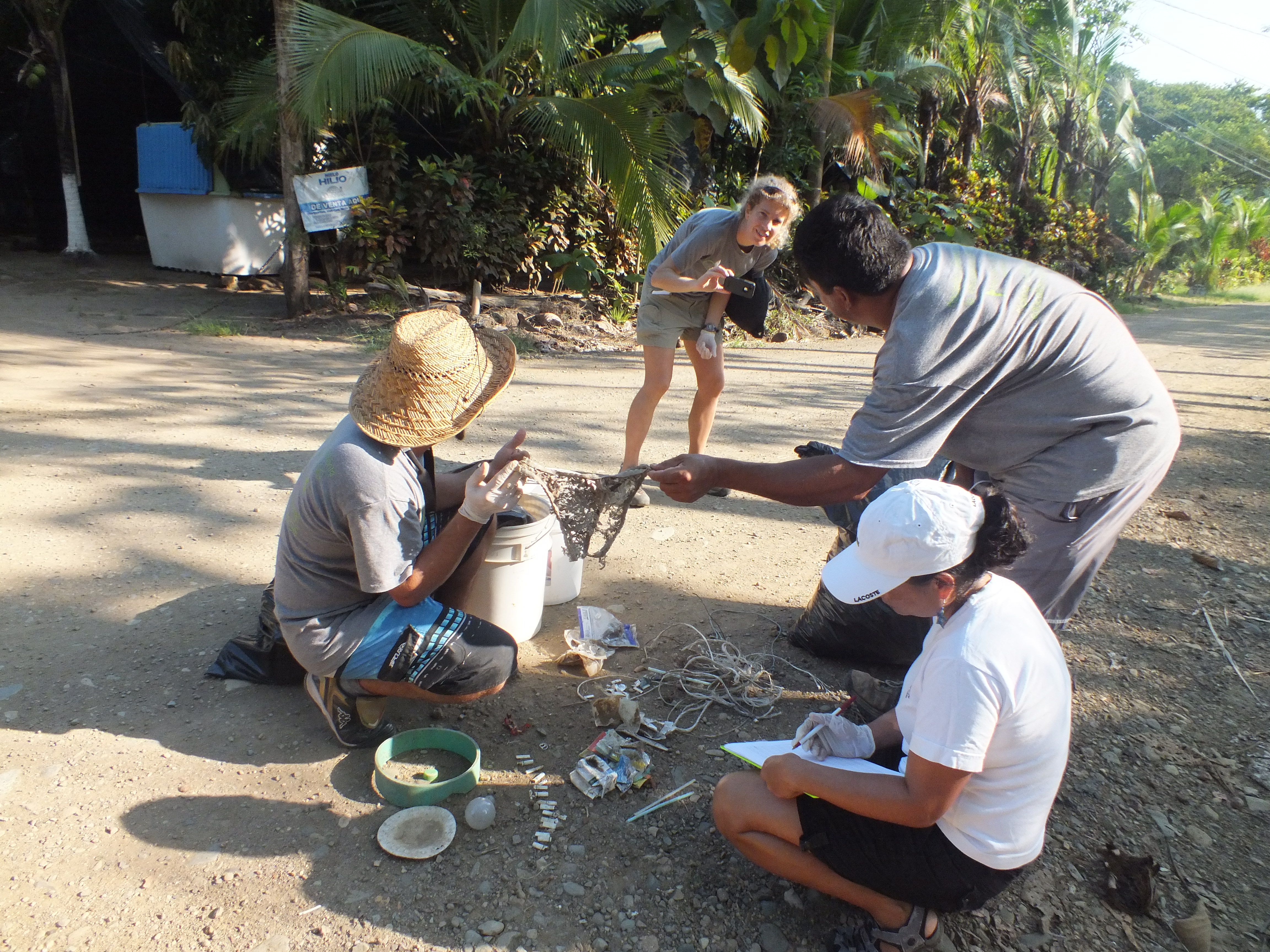
  • Investigating contaminated waters in the high density housing development
  • Reforesting areas of the community to bring back wildlife
  • Mapping out areas of concentration of trash to demonstrate the need for curb-side trash pickup in the district of Piedras Blandas
  • Exploring sustainable agricultural practices

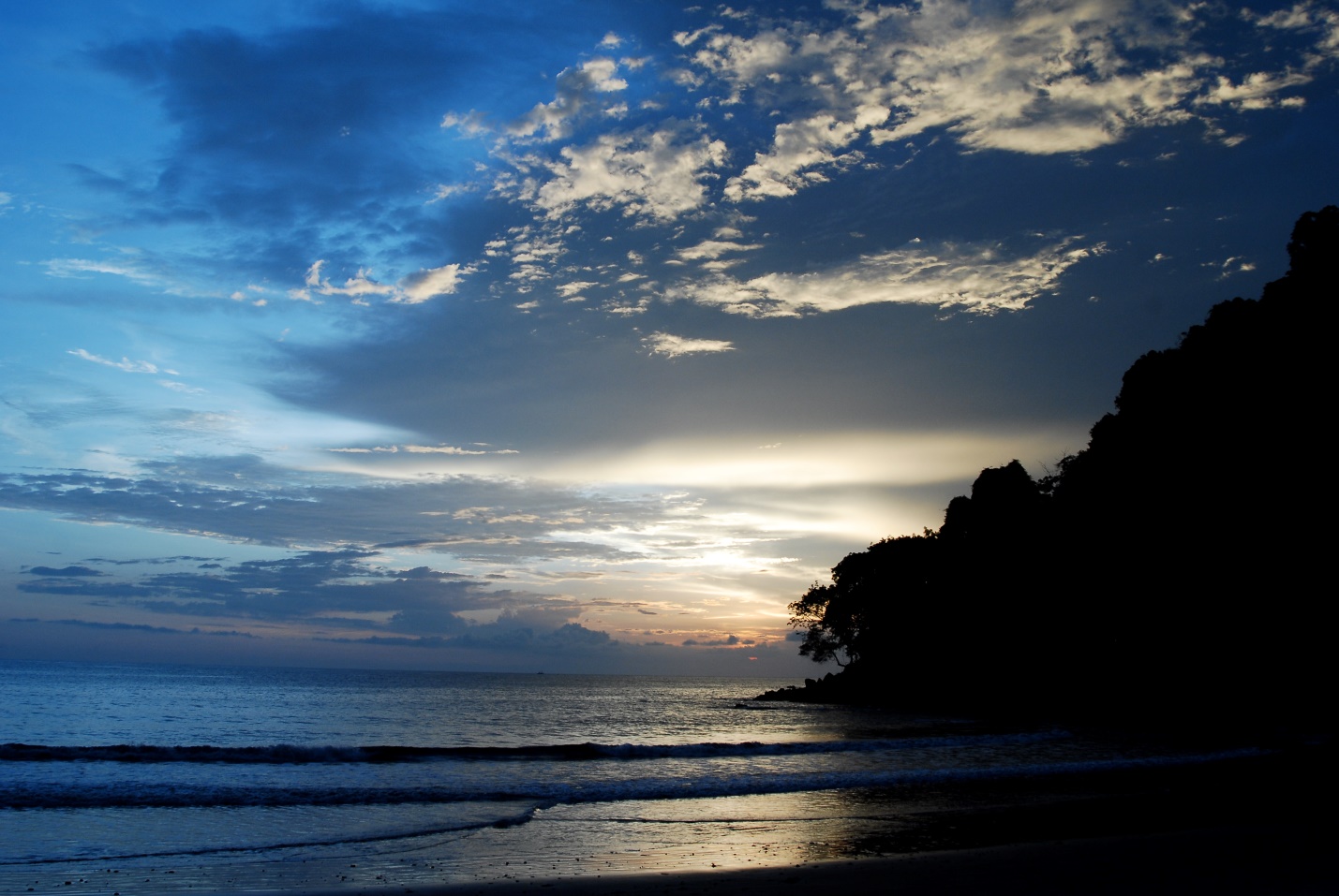
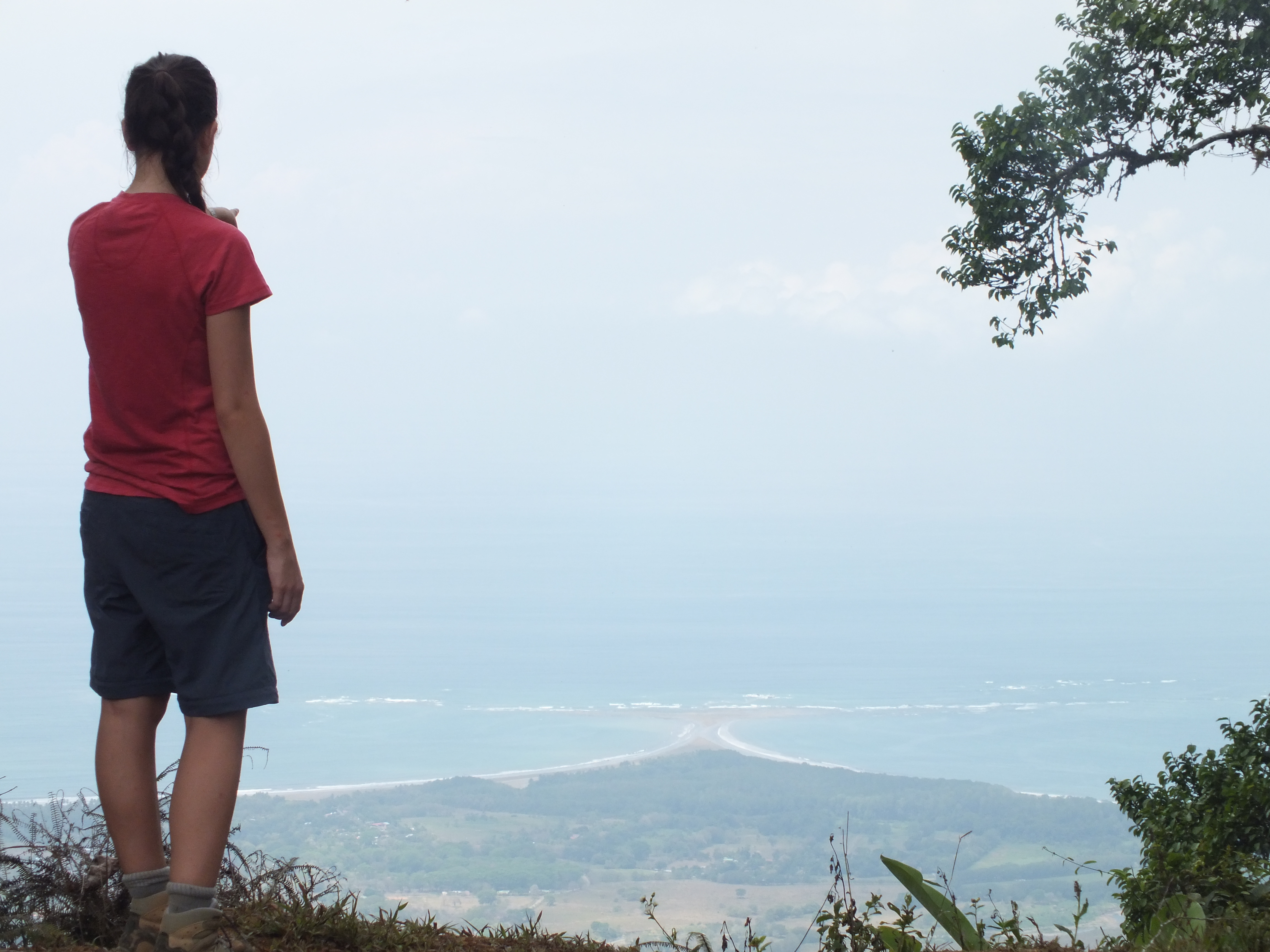
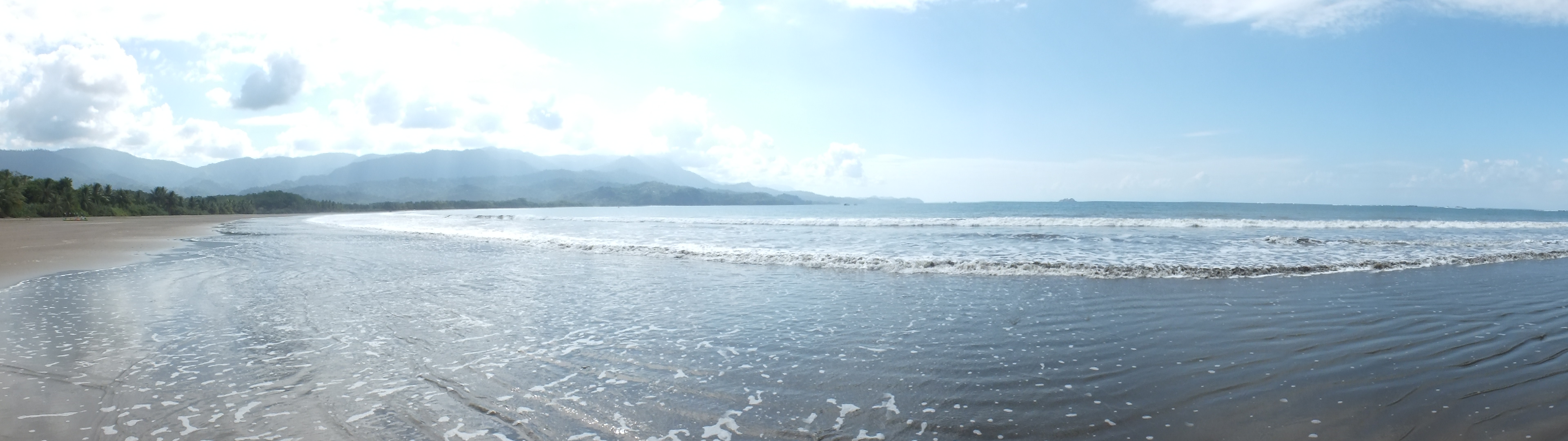
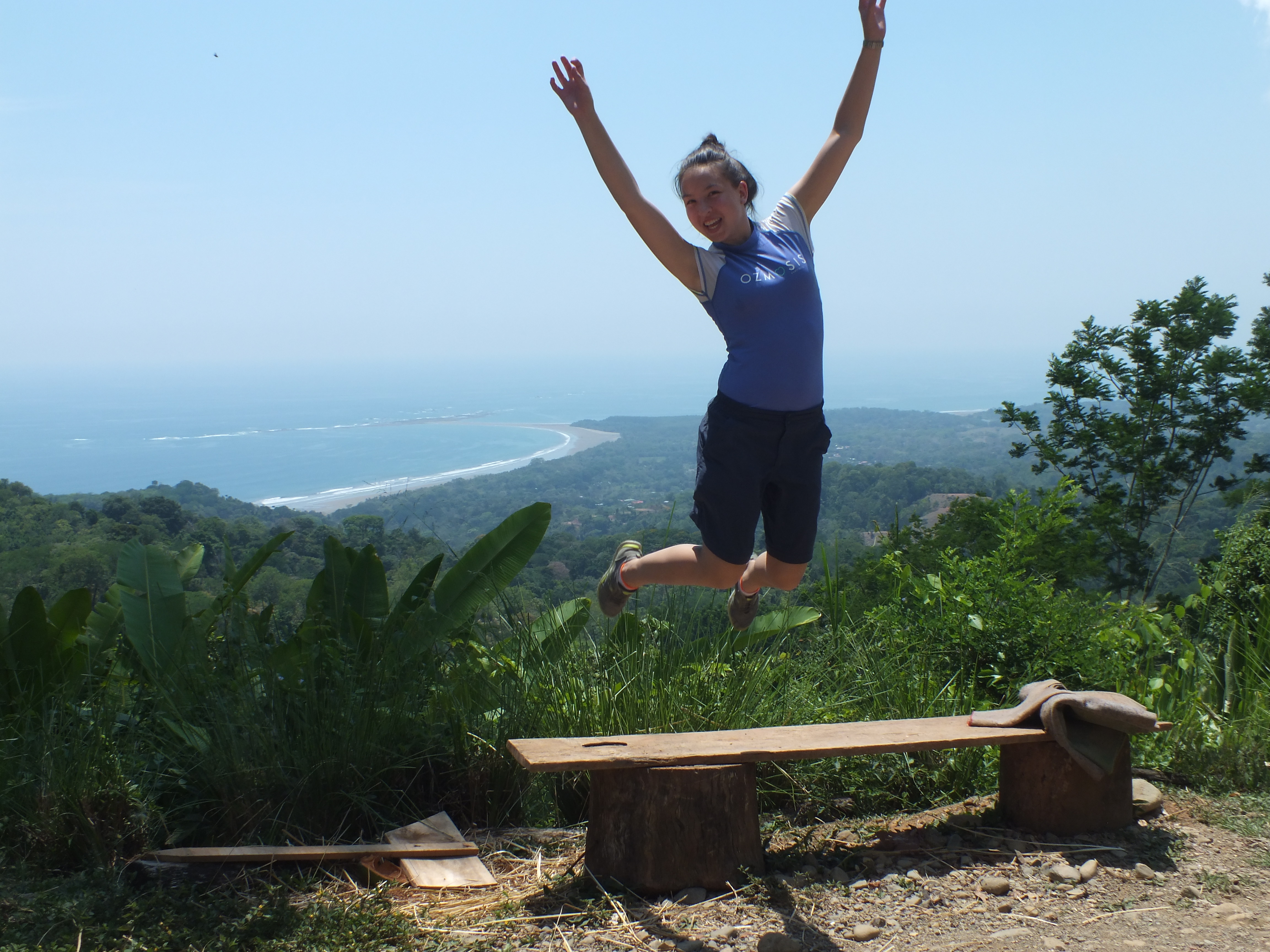
Another workshop will be held the middle of May. I’m working on my Spanish so I can join the conversation even more. I’m also looking forward to the drive because Costa Rica is such a beautiful country and the coast road offers amazing views.

image005

Snorkeling at Caño and inquisitive tourists.

My host father Rafa, let me go on another boat tour with Bahia Aventuras, this time a full day tour to Caño Island. After some cloudy skies, Thursday was sunny and clear – perfect weather for snorkeling and swimming at the island. On the boat I sat near the back next to our guide Reymer – it was great to see the GPS unit seeing some action when we spotted groups of dolphins and turtles next to the boat!

DSCF6187DSCF6189

After 1.5 hours on the boat we arrived at Caño and got our snorkeling mask and fins on for the morning. The water was so clear and the reefs quite shallow – amazing fish swimming around from huge schools of Big Eyed Jacks to Angelfish and Pufferfish! We went to a second island – Violin Island for lunch and swimming at the beach. The beach on this island was so calm with almost no waves – beautiful to float and look up at the clouds!

DSCF6221

I was on the tour with a large American family… they were very interested in my Gap Year adventures particularly how I ended up living and vounteering here in Bahia Ballena. I told them all about the Geoporter’s project and how we are sharing the GPS technologies within the community. One of the tourists saw Reymer using the GPS and asked if he was texting his girldfriend! He explained no it was a GPS and he was marking that we had seen a turtle swim past the boat. I see that an important component of the project is to also educate the tourists visiting Bahia about Geoporter and how we are using GPS technologies within the community.

At 3pm we arrived home safely after an awesome tour. Many thanks to Bahia Aventuras particularly Reymer for making the day so special!

Fiona

Hiking to La Suiza (Switzerland)!

Hola! Over the last weekend, we went to visit my host grandparents house in La Suiza (about 1 hours drive away from San Isidro). No it’s not really in Switzerland… just given that name because of its location high up in the mountains across the state border into the San Jose province.

On Saturday afternoon we hiked up the 10km road for 4 hours to their house. I brought a GPS along with me to record the trail which I have mapped on GIS below.  The wet season began as we started climbing and it poured down rain so the steep dirt road became slippery mud! Finally the rain stopped halfway and we saw an amazing rainbow – so close you could almost touch it! We arrived at 7pm after the sunset at 6pm so walked the last hour by the natural moonlight – it was just beautiful.

hike DSCF5782

My host father had driven 2 hours with the kids up for the visit so we all spent Sunday together. Being in a small village, it was a chance to see the Costa Rican Pura Vida (Pure Life). From hand-making tortillas, cooking on a wood-fire stove, having to boil water for showers and milking the family cow….. La Suiza is a paradise escape! Spending time visiting relatives and taking in the beauty surrounding us – saw a sloth hanging in the backyard, visited the local soccer field and watched the sunset over the mountains.

DSCF5926 DSCF6032

On Monday morning we began the hike home at 8:30am – the fog up in the mountains meant poor visibility again but when we got half-way down the sky cleared and we had amazing views out towards the ocean and of the whale tail! Today we hiked all the way from La Suiza to Bahia Ballena – 15km journey over 5.5 hours! It was amazing experience to visit relatives and celebrating Semana Santa with them.

DSCF6064 DSCF6074

Hasta Luego! But I’ll be back with more of my adventures soon!

Fiona


The Aussie’s Adventures.

Hola! Como Esta? (How are you?) Moi Bien. Puda Vida (I’m very good. Pure Life in Costa Rica). Busy week at Geoporters trying to get the quebradas (streams) in the town mapped before the wet season starts and before Semana Santa celebrations (Holy Week) begins on Friday.

On Tuesday morning, Amy, Luz, Jovino and I went mapping the quebradas again from Bahia’s historical house nearby the beach entrance through the outskirts of the town up to the main highway! It was interesting to see roads that cross straight through the stream, people who direct grey-water into the stream and the pollution from the supermarkets and shops along the highway. Of course we couldn’t help but have fun too; eating fresh papayas from a nearby tree and catching a small snake that I almost walked into!

DSCF5456

DSCF5491

On Wednesday Amy and I spent the whole day at Escuela Verde. In the morning I presented a PowerPoint and speech about Australia – the population, climate, geography, fauna and flora – to grades 4, 5 and 6. The students were very interested to learn about where I have come from and what its like to live there! In the afternoon, Amy and I continued our lesson with grade 5 students on using the computers to look at maps and understand populations and geography. The students are quickly picking up important computer skills – I feel really happy to have made an impact and taught them these new skills.

DSCF5552

Thursday morning was the weekly basura (rubbish/ trash) collection in conjunction with Dolphin Tours. This week we had a smaller team but managed to collect all the way along La Forgata Road. This road runs along the outskirts of Bahia and although we saw many more cars driving along the road, there was much less trash than last weeks collection along Plias Chaman Road.

DSCF5592

Friday marks the beginning of Semana Santa (Holy Week) where everyone in Costa Rica is on holidays for the Easter celebrations. I had a morning walk along Chaman beach to the whale tail and back home – beautiful view of the beach and clouds reflected in the water! Friday night, I went with Rafa (host father), Kendall (host brother) and Sofia (host sister) to watch the bull riding – a traditional celebration here in Costa Rica at the Festiva Civica (town festival).

DSCF5640

DSCF5721

This weekend we are planning to hike up the mountains to visit my host grandparents house…Asta Luego for today but I’ll be back with my hiking adventures later this week.

Fiona

Aussie in Corcovado

On Friday, we collected GPS waypoints and observations along the local creeks and rivers around the Bahia community. There were 6 of us split into 2 teams: Amy, Christian, Wayner then Luz, Jovino and I. Each group had 2 GPS units and cameras to take photo’s and observe the proximity of vegetation and houses to the waterways. The section we followed had many forks and bends making it difficult to map and understand the flow direction – I can see the importance of producing maps of the town’s water systems and better understand where the water flows during the annual wet season here in Costa Rica.

DSCF4658

While I am volunteering, I am staying with a Costa Rican host family for the month – Rafa, Angie, Sofia and Kendall. Rafa (my host father) is the manager of Bahia Aventuras and on Saturday he offered for me to go on a full day boat tour out to the CorcovadoNational Park. From a tourist perspective, I can see why these boat tours are the towns major income generator – the wealth of both marine and land wildlife in the area are amazing and it’s special that the community will share it with tourists. From the Geoporter perspective, there are many future uses of GPS and GIS within the tours for instance mapping the birds, monkeys, sloths, snakes, lizard and frog locations within Corcovado or mapping other marine wildlife such as the dolphins we spotted so that their location is better understood and guides can predict where they will see these animals for other tours.

DSCF5053 DSCF5210 DSCF5267

As Amy first said; It’s not just volunteering but voluntourism – there are plenty of opportunities to be a tourist and enjoy Costa Rica not just work the whole time. While I have only been here for a short while, I have experienced the beauty of Costa Rica to the full through swimming at the local UvitaRiver, visiting the local beach and walking along the famous whale tail formation or swimming at the waterfalls up in the nearby mountains. I can also see many uses for GPS and GIS in mapping these locations for other tourists to visit too!

DSCF4837

Hasta Luego for now but I will be back next week to share more of my Costa Rican adventures!

Fiona


The Aussie’s View of Costa Rica!

Hola! My name is Fiona (I come from Australia) and I am here volunteering with Amy and the Geoporter Project for one month. Already a week has flown by yet it only feels like yesterday that I arrived in Bahia Ballena!

DSCF4818

In my short time here I have experienced lots of action with an official tsunami watch from an 8.2 earthquake off the coast of Chile – this gave me huge insight to the risks of living along the coast like the town of Bahia but also to the response by the locals who are used to living in such a risk area. It is interesting that there is no official warning system such as sirens or alarms but only by word of mouth and facebook updates.

On Wednesday, Amy and I went up to Escuela Verde (a local bilingual school) to teach students how to use computers particularly the arcGIS program. It was amazing to see the positive response from the students to learning and also Amy’s enthusiasm in teaching GIS to the students. I can really see how the students are empowered by what they’re learning and the positive impacts this can have for future generations living in Bahia.

DSCF4475

Thursday morning was the rubbish (excuse my Aussie terminology for trash) collection from 6am till 8am. We collected from the entrance to Playa Chaman all the way to the beach!! We had a team of 12 – my host brother Kendall came along and plotted the waypoints on the GPS while I stayed back and counted/sorted the trash with Luz, Jovino and Wayner. From this collection I noticed that A) the rubbish was mostly concentrated close to the main highway and around houses/ restaurants along the road and B) the rubbish was mainly related to food (drink bottles/ cans and food wrappers) or to cigarette use.

DSCF4520 DSCF4530

The Aussie’s adventures continue on Wednesday!

Fiona