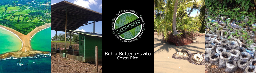
We’ve closed the doors on 2014. Where has it gone? Geoporter has been busy in Bahía Ballena and beyond! Funds and support from our 2013 Indigogo campaign, from providing community-based geospatial education experiences to 230 students from 16 different groups, and from a new from a collaboration with the Woods Institute at Stanford University provided us with a little under $15,000 to help us achieve the following in 2014:
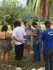
 Geoporter Assistants: We provided stipends for two local community members to assist the Geoporter Director, allowing Amy to focus on tasks to grow and expand Geoporter. These two Assistants, Luz Badilla and Tania Calderon, have been working approximately ten hours per week since June. They are a wonderful asset to Geoporter, spearheading the day-to-day operations of the “Clean Streets, Clean Waters” and the “Participatory Whale Monitoring” projects. They are also helping with outreach to the community, while stepping into leadership roles and becoming Geoporter instructors at community-based trainings.
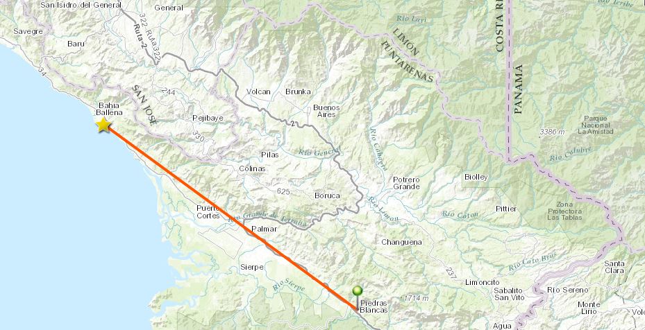
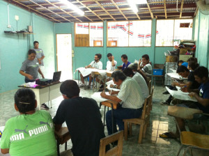 3 New Communities: We expanded the geographic area where we work to include three communities in the Osa Peninsula: Rancho Quemado, El Progreso and Bahía Drake. Two workshops, totaling three days, focused on implementing GIS and GPS to monitor community resources and identify community boundaries. The Geoporter Director and three local Geoporter community members conducted the workshops in each community during the slower tourism months from September to November. This work was conducted as part of the Osa and Golfito Initiative (INOGO) and the Caminos de Liderazgo Project, under the supervision of the Stanford Woods Institute for the Environment. In 2015, we look to continue this collaboration and work with two additional communities conducting similar workshops.
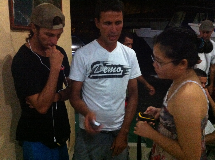
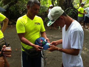
 New Guides and Captains: We trained seven additional boat tour guides to use GPS and participate in the mapping of humpback whales, their offspring, and other cetaceans throughout an additional two seasons. Previous captains and guides assisted training these new guides. Boat tours to see the migration of humpback whales and their offspring is the primary economic driver of Bahia Ballena and geospatial technologies is helping this tourism sector to better understand develop sustainable tourism practices to keep from stressing the whales.
“Clean Streets, Clean Waters”: The community transitioned from data collection and mapping of trash in the first part of the year to taking action and applying these actions to make a change in the amount of trash in the streets and beaches.
 We developed a silent “Yo No Tiro Basura” sticker campaign with community members who mapped trash. Using a local printing company, 4,100 stickers were created with funds donated from thirteen local businesses and organizations. This campaign raised the level of awareness to making a commitment to not throw trash in the streets.
- Community members created a video using local photographs to highlight the beauty of Bahía Ballena and how it is affected by the trash that is left behind. This video was showcased in front of 5,000 tourists during the 6th Annual Festival of Whales and Dolphins in September.
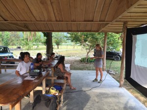
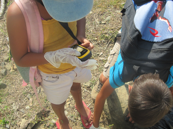
 Schools and Youth: We advanced teachers’ and youths’ understanding and use of GPS and GIS by working with Escuela Verde and Escuela La Flor de Bahía Ballena and the after school program of Forjando Alas.
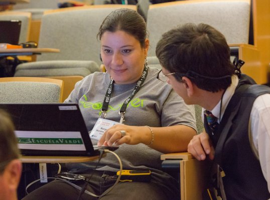
 Teacher to T3G Institute: We supported Margarita Morales, the Director and a teacher at Escuela Verde to apply and attend the T3G Institute on the Esri campus in Redlands, CA. Alongside other educators from around the world, she learned the skills and pedagogy to incorporate GIS into her classroom as well as prepare her to conduct outreach to other educators in her school and in the region.
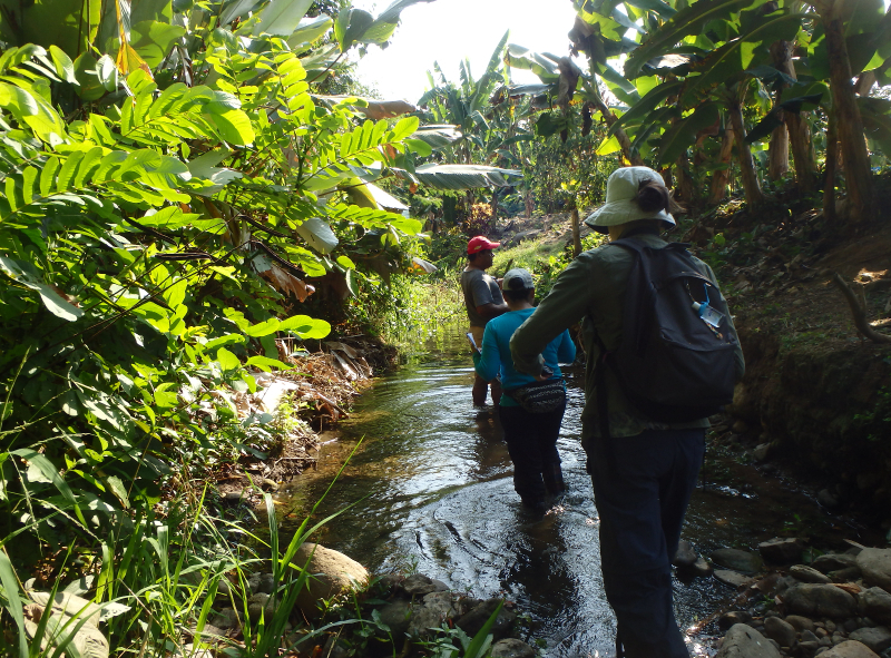
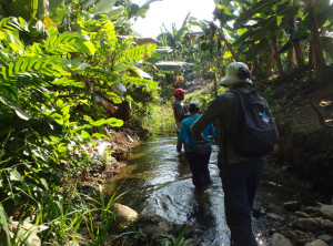 Volunteers and Quebradas: We learned from and engaged with another volunteer, Fiona Lewis from Australia, for two months in late spring. She worked with students at Escuela Verde, helped create necessary organizational documents, supported training, and worked with Geoporter assistants, Luz and Tania. She also supported the implementation of a new community project, mapping the quebradas (or creeks) in town for emergency purposes and to identify point sources of pollution.
Traveler’s Philanthropy Program: We established a long term funding opportunity with Bodhi Surf, one of the local tourism companies in the region. Geoporter was selected as one of three local organizations to receive funds from Bodhi Surf’s Traveler’s Philanthropy program. Previous guests are given the opportunity to donate pre-established funds to Geoporter or contribute more, if they choose to do so. We hope this will be a continuous source of funding for 2015.
In looking back over this past year we managed to do much with the resources we had. We are committed to continue the work we have started in the southern Pacific region of Costa Rica and expanding our efforts. We are looking forward to the exciting things to come in 2015 with Geoporter. You continued support and interest in Geoporter helps us continue to grow, allowing us to make a difference in the live and communities in which we work.
Thank you! Pura Vida! Gracias